Public domain
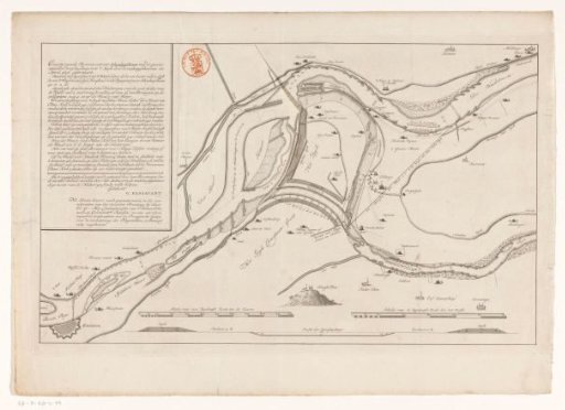
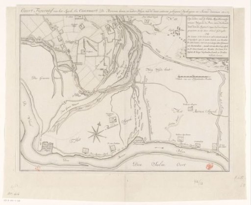
Map of the Area Around the Waal and the Rhine at Ossenwaard and Spijk (Rijnwaarden)
From the collection of Rijksmuseum, Amsterdam. Free to download, adapt and use — no permission needed.
About this work
In the upper right the title and explanation, below it a scale bar: Scale of 200 Rhenish rods.
Rijksmuseum, Amsterdam’s own descriptionCredit lineKaart van het gebied rond de Waal en de Rijn bij Ossenwaard en Spijk (Rijnwaarden). in or after 1744-08-08. anonymous. Rijksmuseum, Amsterdam. Public domain.