Public domain
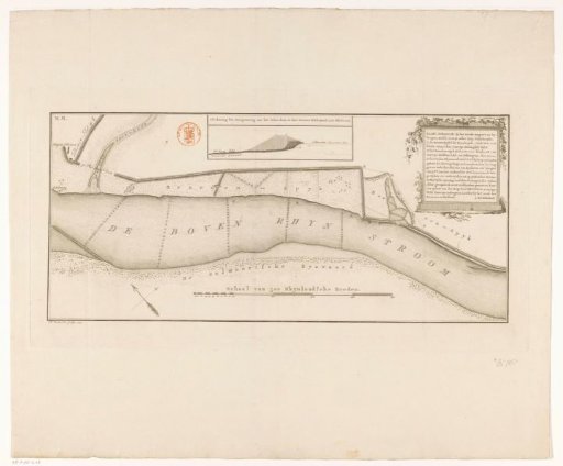
Map of the Upper Rhine near Spijk (Rijnwaarden)
From the collection of Rijksmuseum, Amsterdam. Free to download, adapt and use — no permission needed.
About this work
At the top center, an inset showing a cross-section of the excavation of the Schutdam. At the bottom center, a scale bar: Scale of 500 Rhinland rods. In the upper right, the title cartouche.
Rijksmuseum, Amsterdam’s own descriptionCredit lineKaart van de Boven-Rijn bij Spijk (Rijnwaarden). 1797. Daniël Veelwaard (I). Rijksmuseum, Amsterdam. Public domain.
Similar works
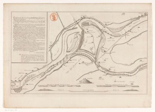 Map of the Upper Rhine near Schenkenschans
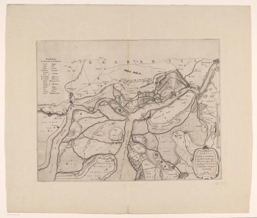 Forts on the Eastern and Western Scheldt, 1627
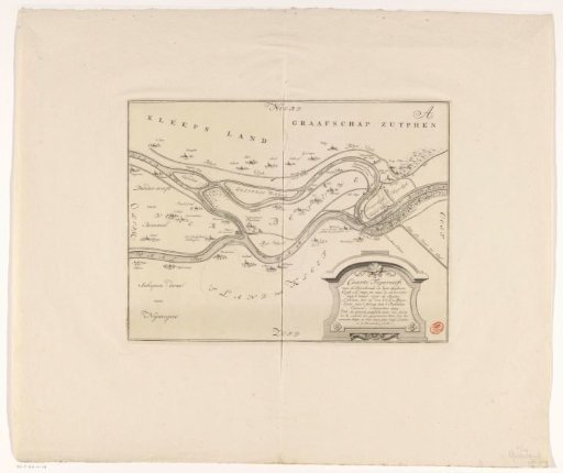 Map of the Breach of the Spijkse Dike in 1741
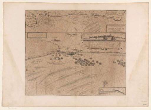 Map of the coast at Dunkirk and of the Flemish coast from Walcheren to Boulogne, 1631
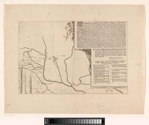 Map of the area between Den Bosch and Geertruidenberg with dike breaches (third sheet)
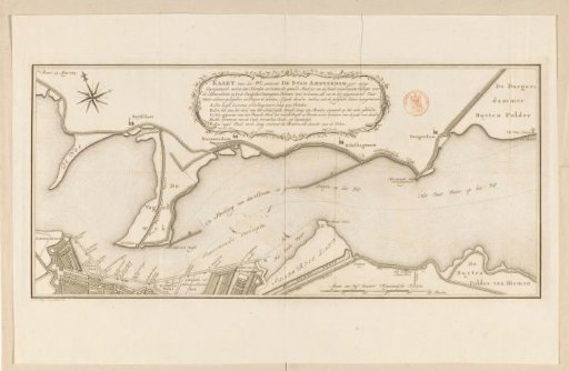 Map of the IJ near Amsterdam