Public domain
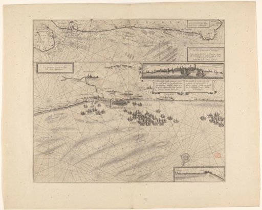
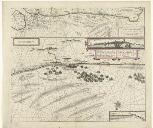
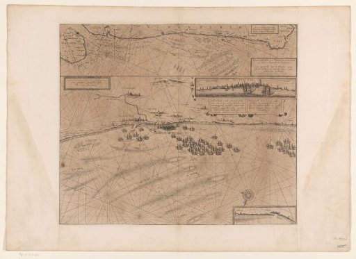
Map of the coast at Dunkirk and of the Flemish coast from Walcheren to Boulogne, 1631
From the collection of Rijksmuseum, Amsterdam. Free to download, adapt and use — no permission needed.
About this work
Sheet with two maps. The main representation is a map of the coast near Dunkirk with fleets of ships guarding the entrance to the harbor against the departure of the corsairs. The Spanish fleet located in the Scheurtje. Also included is a profile of the city, seen from the sea. At the top a smaller map of the Flemish coast from Walcheren to Boulogne, 1631.
Rijksmuseum, Amsterdam’s own descriptionSubjects
Credit lineKaart van de kust bij Duinkerke en van de Vlaamse kust van Walcheren tot Boulogne, 1631. 1636 - 1649. anonymous. Rijksmuseum, Amsterdam. Public domain.