Public domain
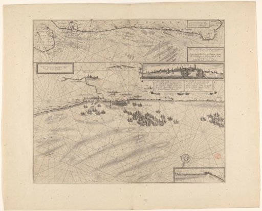
Sea chart of the coast of Flanders, from Walcheren to Calais
From the collection of Rijksmuseum, Amsterdam. Free to download, adapt and use — no permission needed.
About this work
Above a sea chart of the coast of Flanders, from Walcheren to Calais, with a frame in the lower right containing the title and a scale bar in the upper right: Two common Dutch miles. Below a sea chart of the coast and harbour of Dunkirk. In the upper right an inset with a view of Dunkirk from the sea. In the upper left a frame with a scale bar: One common Dutch mile. In the lower right an inset with the profile of the coast at Calais.
Rijksmuseum, Amsterdam’s own descriptionCredit lineZeekaart van de kust van Vlaanderen, van Walcheren tot Calais. 1636. anonymous. Rijksmuseum, Amsterdam. Public domain.
Similar works
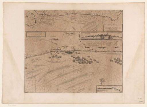 Map of the coast at Dunkirk and of the Flemish coast from Walcheren to Boulogne, 1631
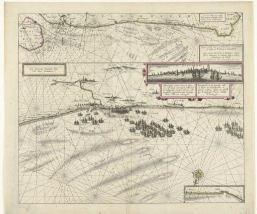 Map of the coast near Dunkirk and of the Flemish coast from Walcheren to Boulogne, 1631
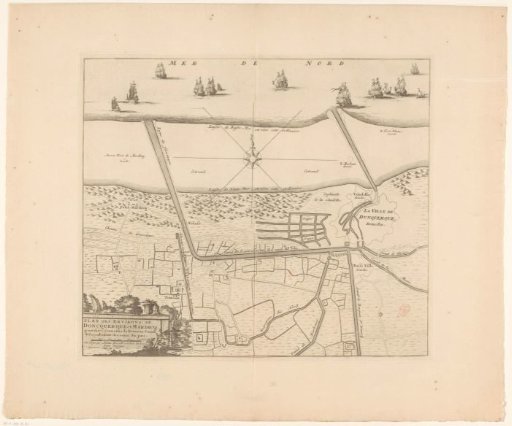 Map of the Canals of Dunkirk
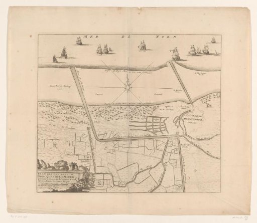 Map of the canals of Dunkirk
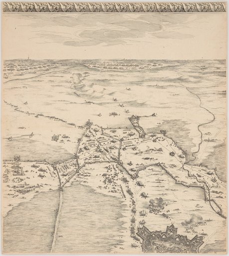 The Siege of Breda
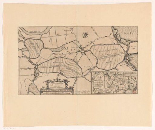 Map of the Buiksloter-, Broeker- and Belmermeerpolder