Public domain
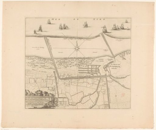
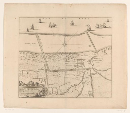
Map of the canals of Dunkirk
From the collection of Rijksmuseum, Amsterdam. Free to download, adapt and use — no permission needed.
About this work
Map of the canals of Dunkirk. A newly built canal is shown, which would connect Saint-Winoksbergen directly to the sea. In the lower left, the title cartouche with a scale bar at the bottom: 500 Toises.
Rijksmuseum, Amsterdam’s own descriptionCredit lineKaart met de kanalen van Duinkerke. in or after c. 1713 - 171. anonymous. Rijksmuseum, Amsterdam. Public domain.