Public domain
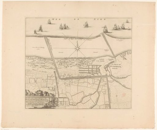
Map of the Canals of Dunkirk
From the collection of Rijksmuseum, Amsterdam. Free to download, adapt and use — no permission needed.
About this work
Map with the canals of Dunkirk. Visible is a newly built canal that would connect Saint-Winoksbergen directly to the sea. In the bottom left the title cartouche with a scale bar at the bottom: 500 Toises.
Rijksmuseum, Amsterdam’s own descriptionCredit lineKaart met de kanalen van Duinkerke. in or after c. 1713 - 171. anonymous. Rijksmuseum, Amsterdam. Public domain.
Similar works
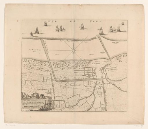 Map of the canals of Dunkirk
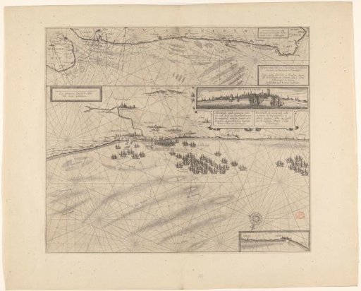 Sea chart of the coast of Flanders, from Walcheren to Calais
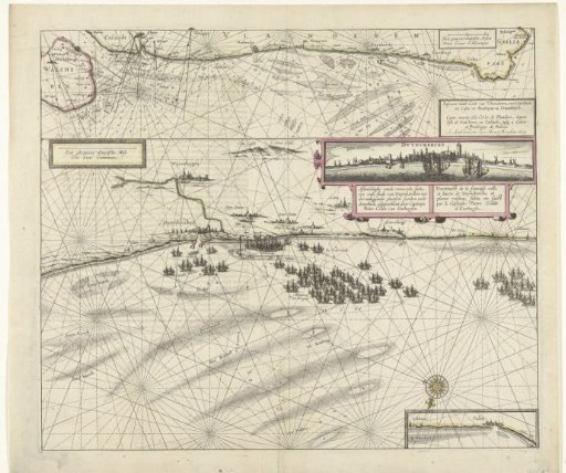 Map of the coast near Dunkirk and of the Flemish coast from Walcheren to Boulogne, 1631
 Map of the grietenij Lemsterland
 Plan of Lingen with its fortifications, 1597
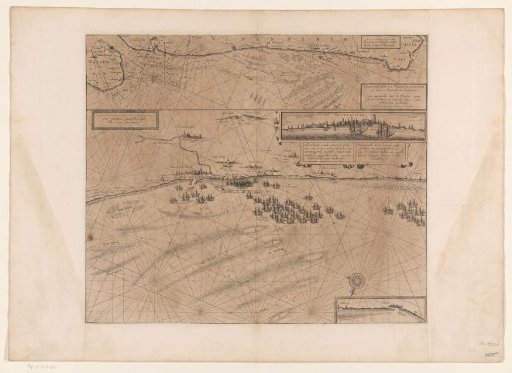 Map of the coast at Dunkirk and of the Flemish coast from Walcheren to Boulogne, 1631