Public domain
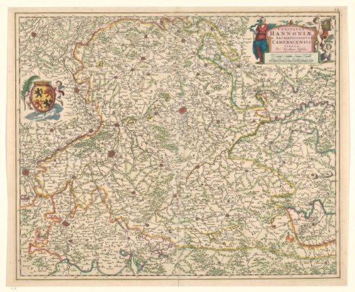
Cartography in the 17th century, Hainaut and of the Archdiocese of Cambrai
From the collection of Rijksmuseum, Amsterdam. Free to download, adapt and use — no permission needed.
About this work
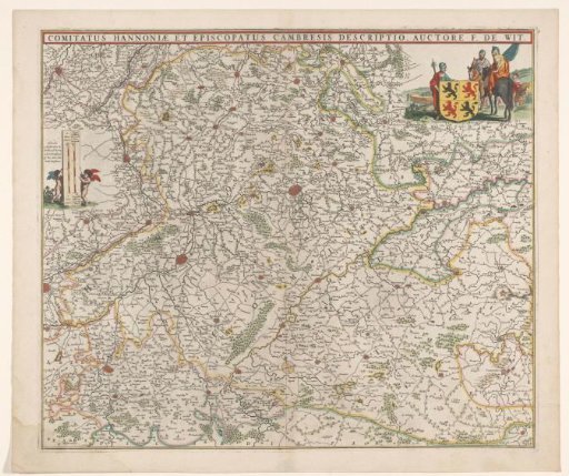
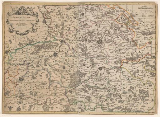
Map of Hainaut and Cambrai, north slightly shifted to the left. Inscription upper right flanked by allegorical figures and putti, scale in German and French miles and Privilege just below. Lower left crowned coat of arms flanked by putti. Borders on the map are colored, trees, fortifications, and buildings are drawn. Inscription; upper right: COMITATUS / HANNONIAE / et ARCHIEPISCOPATUS / CAMERACENSIS / TABULA. Signed; upper right: Per Nicolaum Visscher.
Rijksmuseum, Amsterdam’s own descriptionSubjects
Credit lineCartografie in 17de eeuw, Henegouwen en van het aartsbisdom Kamerijk. 1650 - 1700. Nicolaes Visscher (I). Rijksmuseum, Amsterdam. Public domain.