Public domain
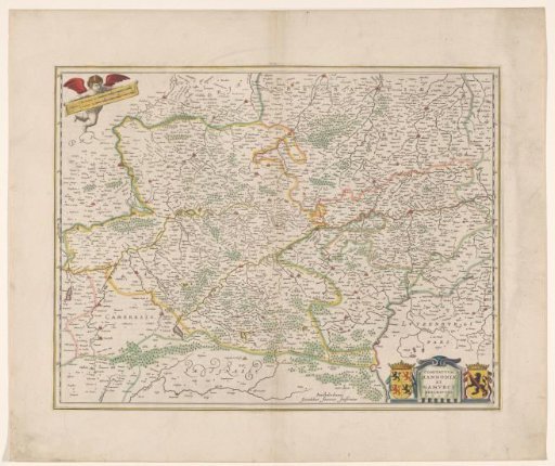
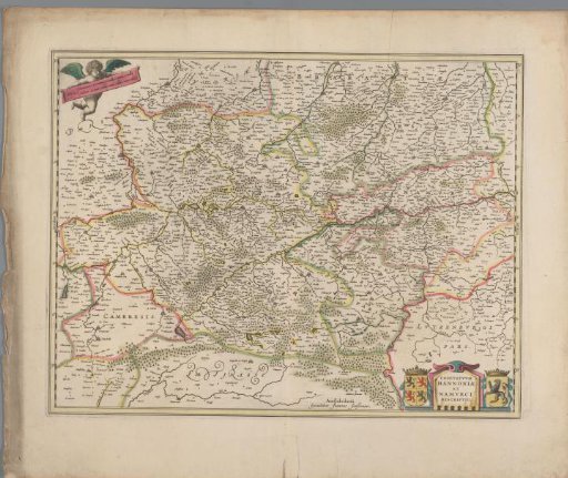
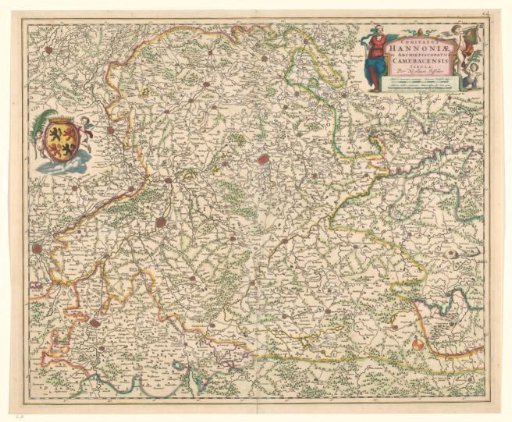
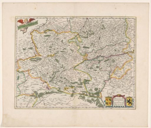
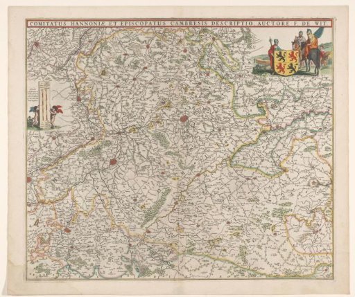
Map of the County of Hainaut and the Archdiocese of Cambrai
From the collection of Rijksmuseum, Amsterdam. Free to download, adapt and use — no permission needed.
About this work
Map of the County of Hainaut and the Archdiocese of Cambrai. In a bar above the map, the title. In the upper right, the coat of arms of Hainaut in a representation with three soldiers, two on horseback. In the upper left, two putti with a scale bar: 2 uren gaens / 1 1/2 Duytsche Mijl van 15 in een Graad.
Rijksmuseum, Amsterdam’s own descriptionCredit lineKaart van het graafschap Henegouwen en het aartsbisdom Kamerijk. 1666 - 1670. anonymous. Rijksmuseum, Amsterdam. Public domain.