Public domain
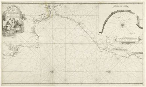
Sea chart of the Strait of Gibraltar and the Bay of Tangier
From the collection of Rijksmuseum, Amsterdam. Free to download, adapt and use — no permission needed.
About this work
Sea chart of the Strait of Gibraltar and the Atlantic Ocean and the coasts of Portugal, Spain, and the Moorish coast (Morocco). Insert in the upper right of the Bay of Tangier with wind rose and scale in German miles. Main chart itself with north to the left and two compass roses. Right two scale bars in German and English or French miles. Left a cartouche with the title, here various allegorical female figures in a coastal landscape.
Rijksmuseum, Amsterdam’s own descriptionCredit lineZeekaart van de straat van Gibraltar en de baai van Tanger. 1738. Hendrik Lynslager. Rijksmuseum, Amsterdam. Public domain.
Similar works
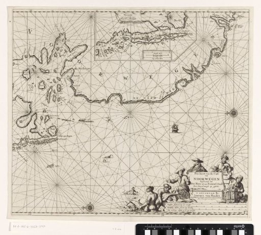 Chart of a part of the coast of Norway
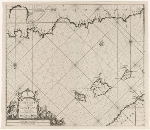 Chart of a section of the Mediterranean Sea with the coasts of Spain and Algeria
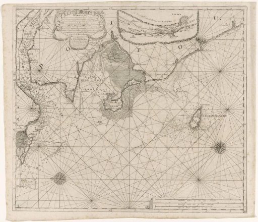 Chart of part of the coast of Brittany
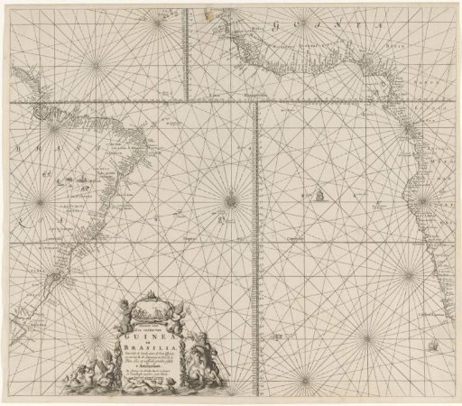 Chart of the southern part of the Atlantic Ocean with the coasts of Africa and Brazil
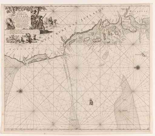 Chart of the west coast of Jutland
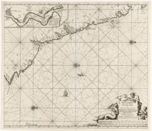 Chart of a part of the northeast coast of England and a part of Scotland