Public domain
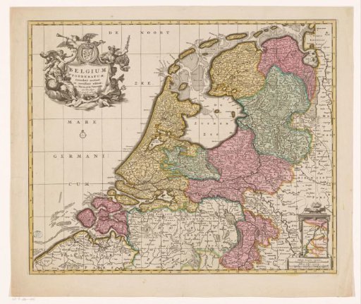
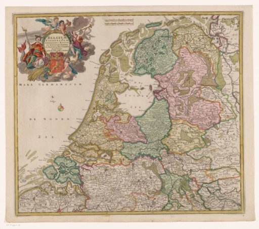
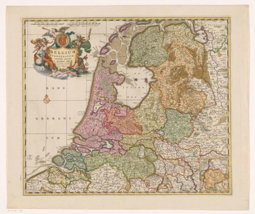
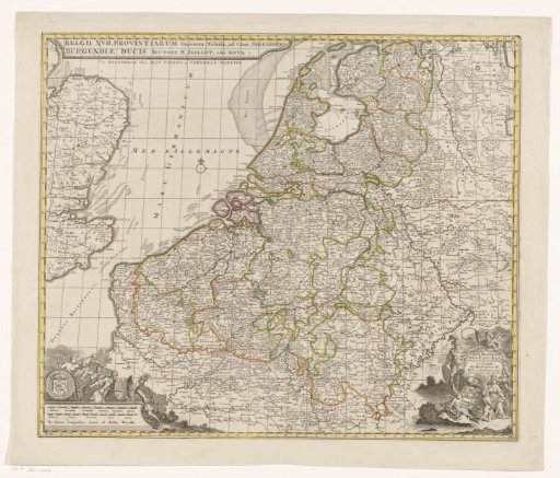
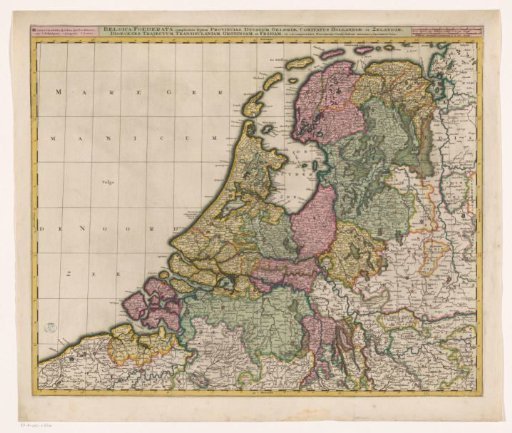
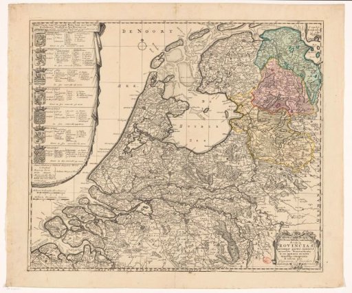
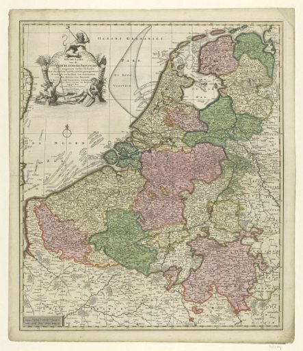
Map of the Republic of the Seven United Netherlands
From the collection of Rijksmuseum, Amsterdam. Free to download, adapt and use — no permission needed.
About this work
Land map on a scale of 1:860,000 with a coloured area division in green, purple, yellow and white. In the top left corner the inscription and the coat of arms of the Republic, flanked at the bottom by two sea gods.
Rijksmuseum, Amsterdam’s own descriptionCredit lineKaart van de Republiek der Zeven Verenigde Nederlanden. 1725 - 1750. Josua Ottens. Rijksmuseum, Amsterdam. Public domain.