Public domain
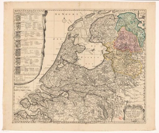
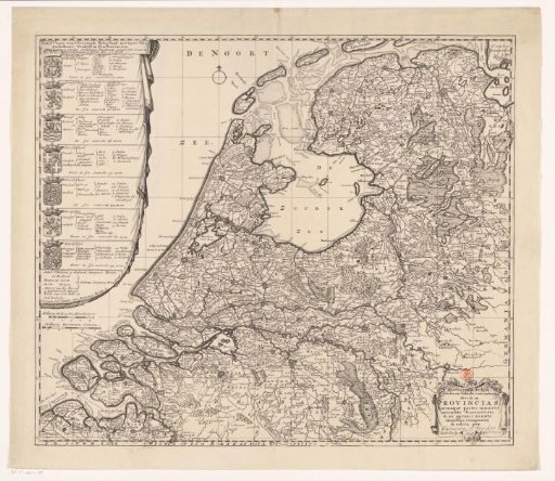
Map of the Republic of the Seven United Netherlands
From the collection of Rijksmuseum, Amsterdam. Free to download, adapt and use — no permission needed.
About this work
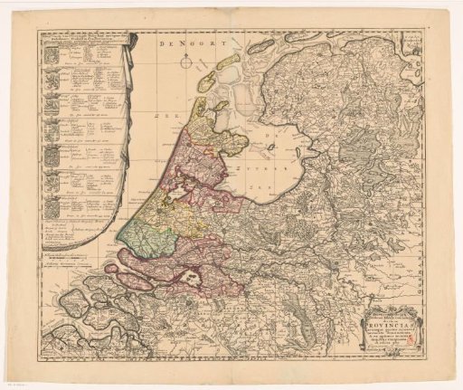
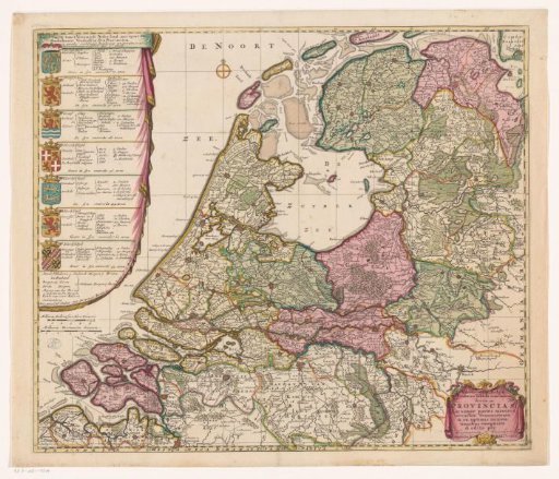
On the left, an elongated cartouche containing the Dutch title and the coats of arms, as well as topographical and political information about the Seven Provinces. Below, two scale bars: Milliaria Gallica sive hora itineris, Milliaria Germanica communia. Bottom right, a cartouche with the Latin title. The map is provided with a coordinate grid and a degree division along the edges.
Rijksmuseum, Amsterdam’s own descriptionSubjects
Credit lineKaart van de Republiek der Zeven Verenigde Nederlanden. 1702. Caspar Specht. Rijksmuseum, Amsterdam. Public domain.
Similar works
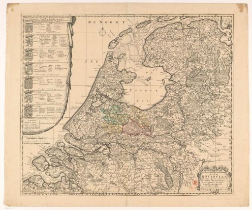 Map of the Republic of the Seven United Netherlands
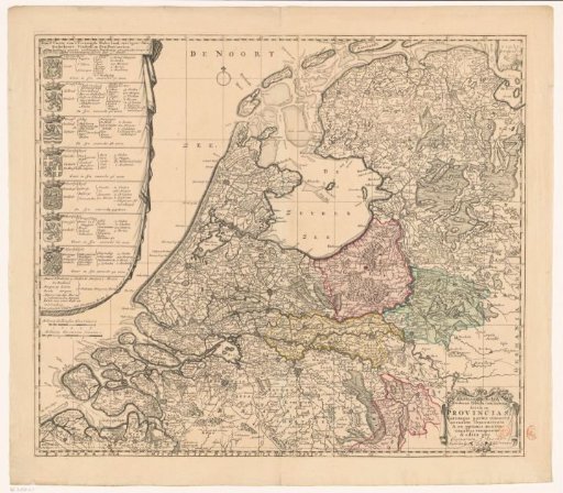 Map of the Republic of the Seven United Netherlands
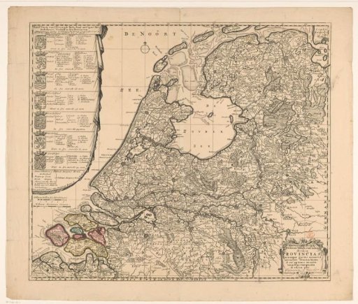 Map of the Republic of the Seven United Netherlands
 Map of the Republic of the Seven United Netherlands
 Map of the Republic of the Seven United Netherlands
 Map of the Republic of the Seven United Netherlands