Public domain
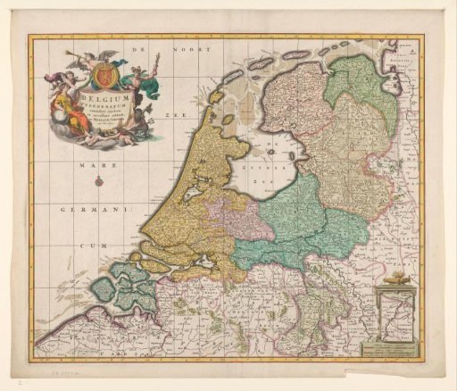
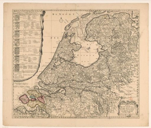
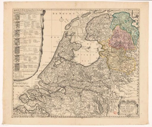
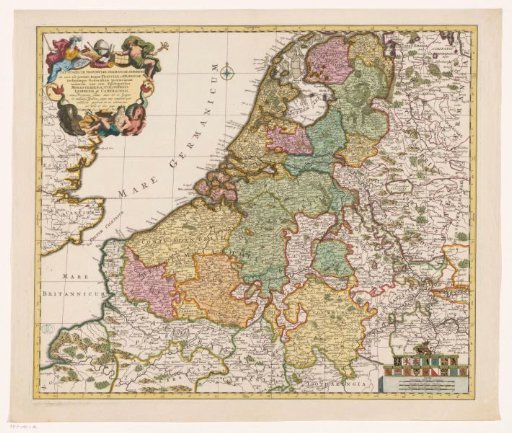
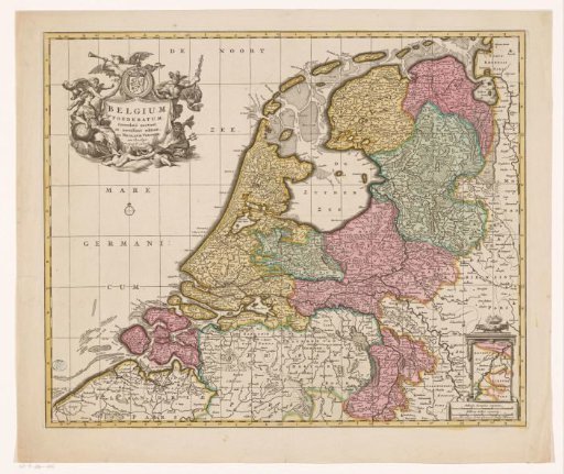
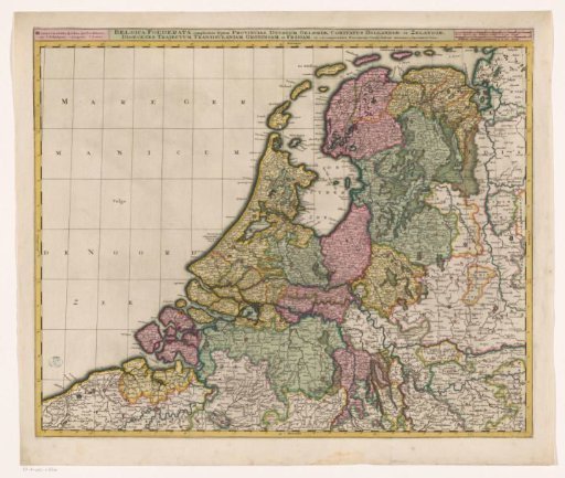
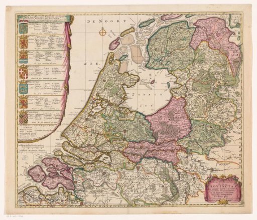
Map of the Republic of the Seven United Netherlands
From the collection of Rijksmuseum, Amsterdam. Free to download, adapt and use — no permission needed.
About this work
Left: An elongated cartouche containing the Dutch title and the arms of, and topographical and political information about, the Seven Provinces. Below that, two scale bars: Milliaria Gallica sive hora itineris, Milliaria Germanica comunia. Bottom right: A cartouche with the Latin title. The map features a coordinate grid and degree markings along the edges.
Rijksmuseum, Amsterdam’s own descriptionSubjects
Credit lineKaart van de Republiek der Zeven Verenigde Nederlanden. 1702. Caspar Specht. Rijksmuseum, Amsterdam. Public domain.