Public domain
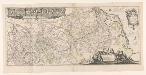
Map of the Rhine Basin
From the collection of Rijksmuseum, Amsterdam. Free to download, adapt and use — no permission needed.
About this work
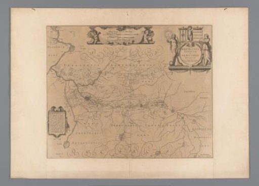
Map of the Rhine region, north to the right, fold map top right dedicated to D. Andrea Bickerus by Willem Blaeu, but there is visible scratching in the plate to remove what was underneath. Dedication + coat of arms + allegorical figure, top right inscription surrounded by animals and allegorical figures. Bottom left row of coats of arms held by putti: left to right Switzerland, Alsace, Palatinate Rheni, Archbishopric of Mainz, Archbishopric of Trier, Archbishopric of Cologne, Cleves, Guelders, Utrecht and Holland. Scale in French and German miles.
Rijksmuseum, Amsterdam’s own descriptionCredit lineKaart van het stroomgebied van de Rijn. 1636. Willem Janszoon Blaeu. Rijksmuseum, Amsterdam. Public domain.