Public domain
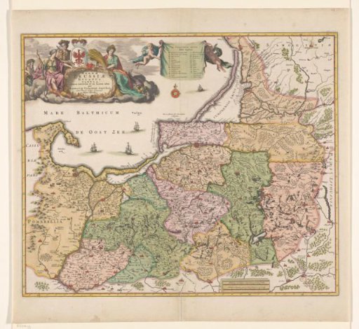
Map of Prussia
From the collection of Rijksmuseum, Amsterdam. Free to download, adapt and use — no permission needed.
About this work
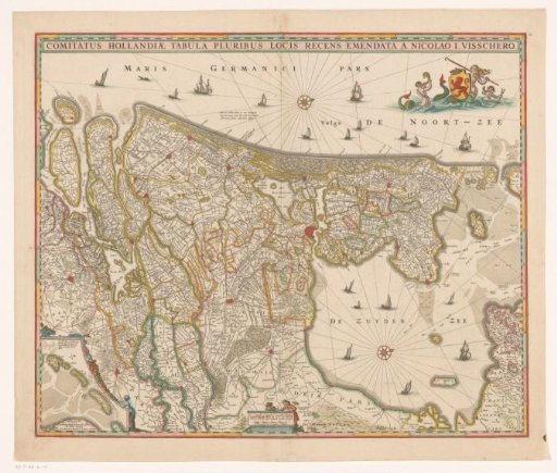
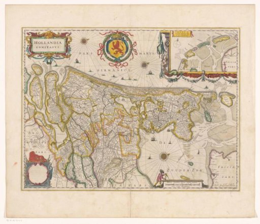
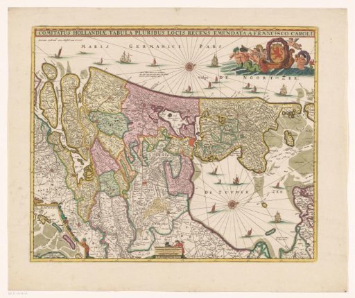
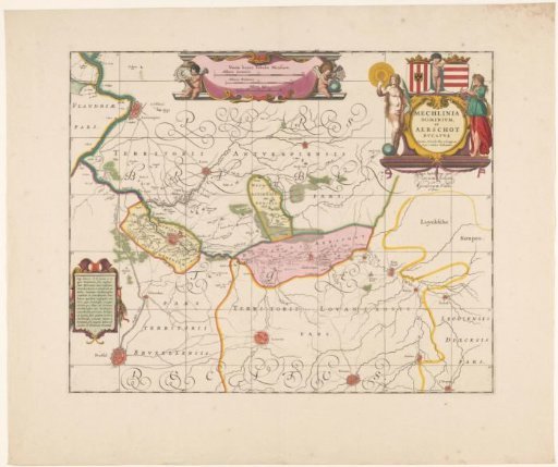
Map of Prussia, areas colored. Bottom left: inscription surrounded by allegorical figures. Center top legend held by two putti, directly below a wind rose. Ships at sea, mountains, trees and buildings drawn in. Top right scale in German and Polish miles. Yellow-bordered. (1:700,000). Inscription; bottom left: MAGNAE / PRUSSIAE / DUCATUS / TABULA.
Rijksmuseum, Amsterdam’s own descriptionCredit lineKaart van Pruisen. 1650 - 1700. Nicolaes Visscher (I). Rijksmuseum, Amsterdam. Public domain.