Public domain
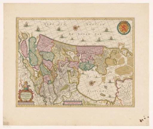
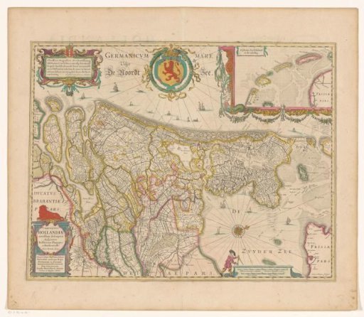
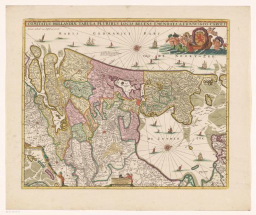
Map of the County of Holland
From the collection of Rijksmuseum, Amsterdam. Free to download, adapt and use — no permission needed.
About this work
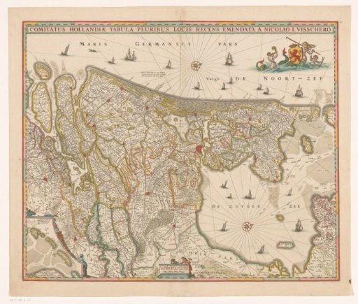
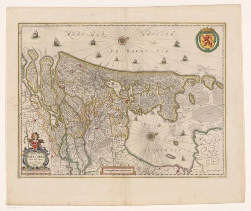
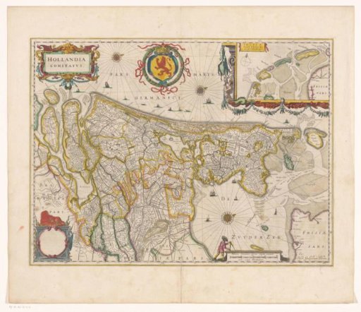
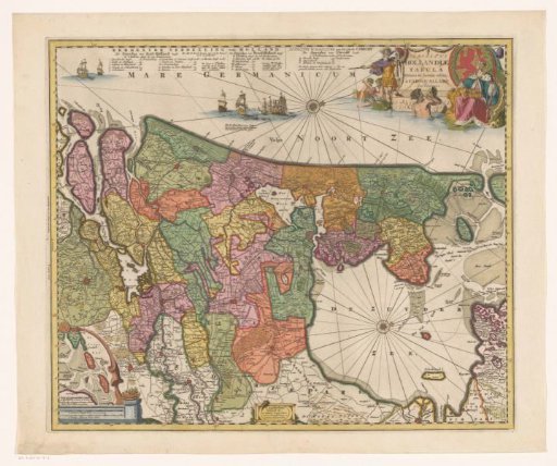
Map of the County of Holland and surrounding areas. Bottom left an inset map of the Wadden Sea area with a scale bar: 4 gemene duytse mylen tot dit besteck hier binnen begrepen. Bottom center two scale bars for the map itself: 2 gemene Duytsche mylen van 15 in een graedt / Miliaria Hollandica quorum singula continent 2000 virgas; 2 uren gaens de 4 maken 3 mijlen. Top right the coat of arms of the county in a triumphal boat, surrounded by tritons. Degree division along the edges. Orientation: north to the right.
Rijksmuseum, Amsterdam’s own descriptionCredit lineKaart van het graafschap Holland. 1686 - 1711. anonymous. Rijksmuseum, Amsterdam. Public domain.