Public domain
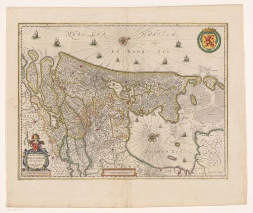
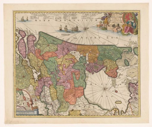
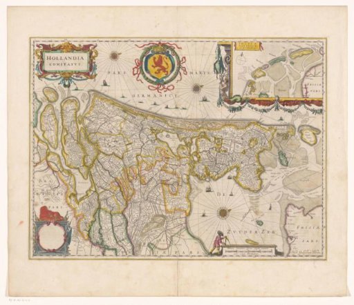
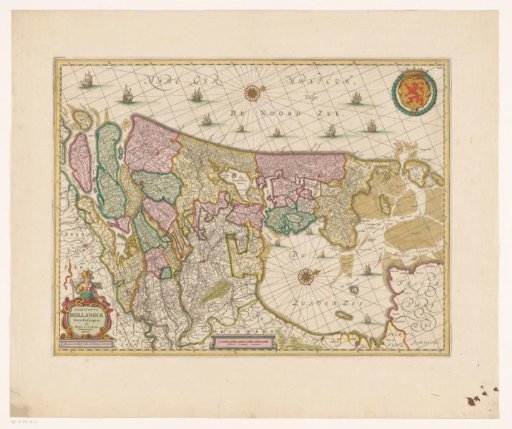
Map of the County of Holland
From the collection of Rijksmuseum, Amsterdam. Free to download, adapt and use — no permission needed.
About this work
Map of the County of Holland and surrounding areas. Bottom left the title cartouche. Bottom center a scale bar: Milliaria Germanica communia. Top right the coat of arms of the County of Holland in a laurel wreath. Degree division along the edges. Orientation: north to the right.
Rijksmuseum, Amsterdam’s own descriptionCredit lineKaart van het graafschap Holland. 1680 - 1711. Gerard Coeck. Rijksmuseum, Amsterdam. Public domain.