Public domain
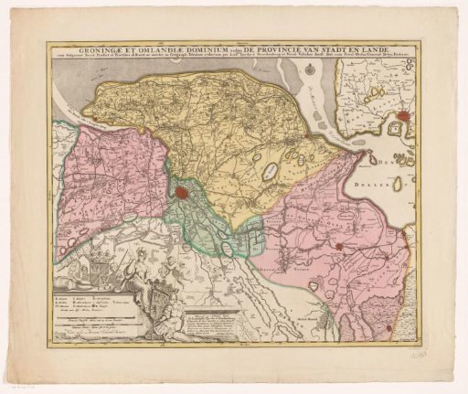
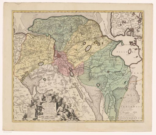
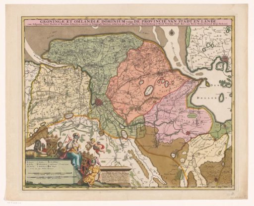
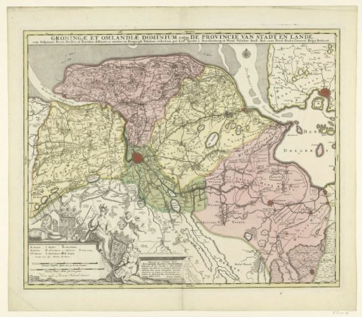
Map of the province of Groningen
From the collection of Rijksmuseum, Amsterdam. Free to download, adapt and use — no permission needed.
About this work
Map of the province of Groningen on a scale of 1:128,000. In the lower left a cartouche with the legend and two scale bars: Common Dutch miles of 15 to a degree, Common French miles or walking hours. Above it the coat of arms of Groningen, to the right the coat of arms of Ludolph Tjarda van Starkenburg under a putto with a harp, flanked by a helmeted woman and man (possibly Minerva and Mars). Around the Groningen coat of arms: cheese, peat, a wooden barrel, a horse and two men. Degree division along the edges.
Rijksmuseum, Amsterdam’s own descriptionSubjects
Credit lineKaart van de provincie Groningen. after 1719. Ludolph Tjarda van Starkenburg, Andries Hogeboom. Rijksmuseum, Amsterdam. Public domain.