Public domain
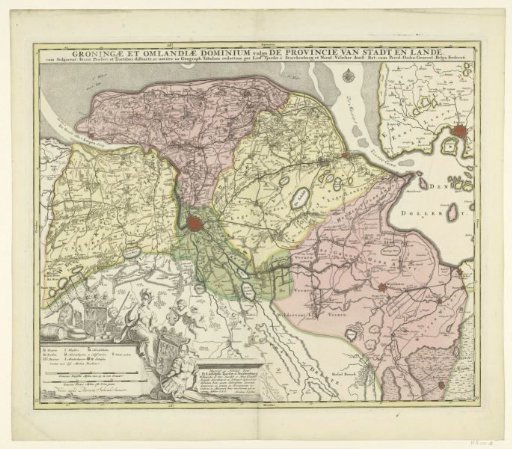
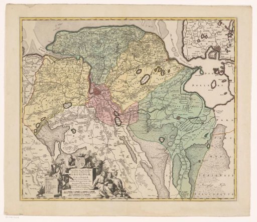
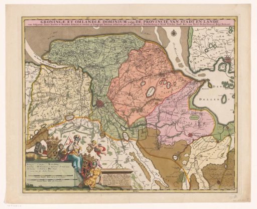
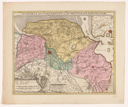
Map of the province of Groningen
From the collection of Rijksmuseum, Amsterdam. Free to download, adapt and use — no permission needed.
About this work
Map of the province of Groningen on a scale of 1:128,000. Bottom left a cartouche with the legend and two scale bars: Common Dutch miles of 15 to a degree, Common French miles or hours' walking. Above it the coat of arms of Groningen, to the right the coat of arms of Ludolph Tjarda van Starkenburg under a putto with a harp, flanked by a helmeted woman and man (possibly Minerva and Mars). Around the Groningen coat of arms: cheeses, peat, a wooden vat, a horse and two men. Degree division along the edges.
Rijksmuseum, Amsterdam’s own descriptionSubjects
Credit lineKaart van de provincie Groningen. after 1719. Andries Hogeboom. Rijksmuseum, Amsterdam. Public domain.