Public domain
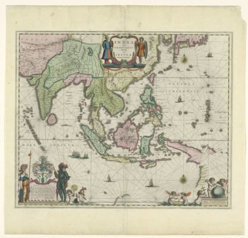
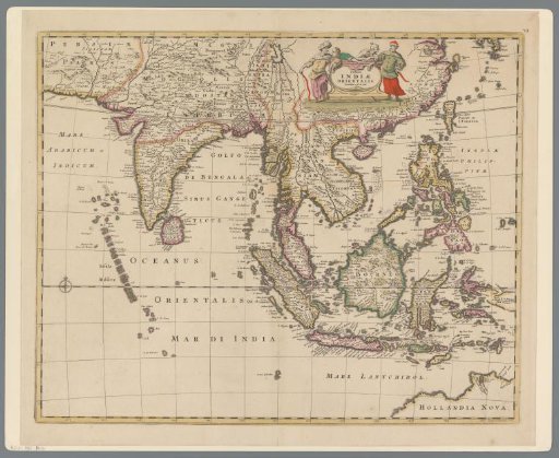
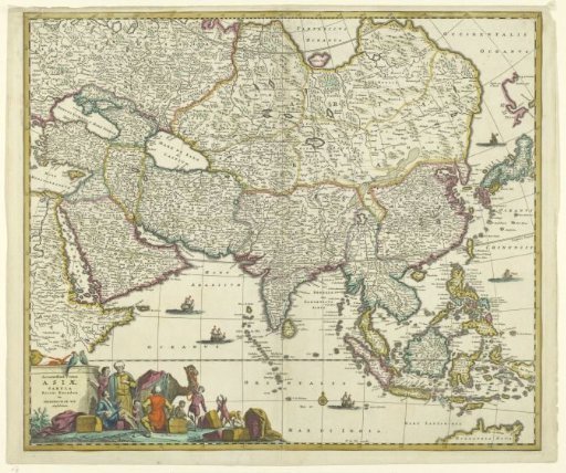
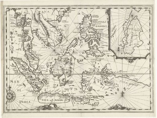
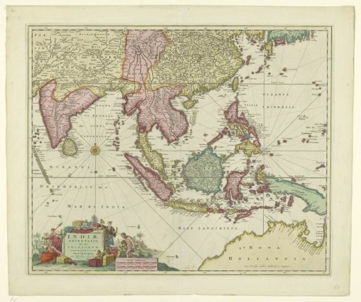
Map of Southeast Asia with the Indonesian Archipelago
From the collection of Rijksmuseum, Amsterdam. Free to download, adapt and use — no permission needed.
About this work
Map of Southeast Asia with the Indonesian Archipelago, with different areas colored differently. A compass rose at the middle left; at the bottom left, within the cartouche, inhabitants of various Asian countries, goods, and a landscape around the inscription. Also at the bottom left, the scale in German and French miles (1:250,000).
Rijksmuseum, Amsterdam’s own descriptionCredit lineKaart van Zuidoost-Azië met Indonesische Archipel. 1650 - 1700. Nicolaes Visscher (I). Rijksmuseum, Amsterdam. Public domain.