Public domain
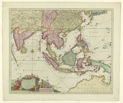
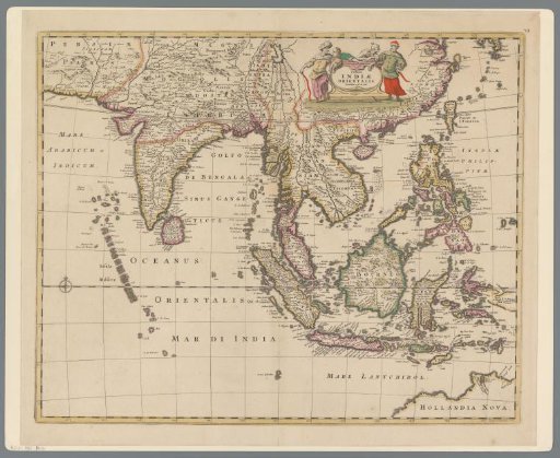
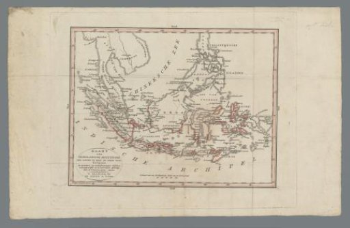
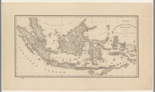
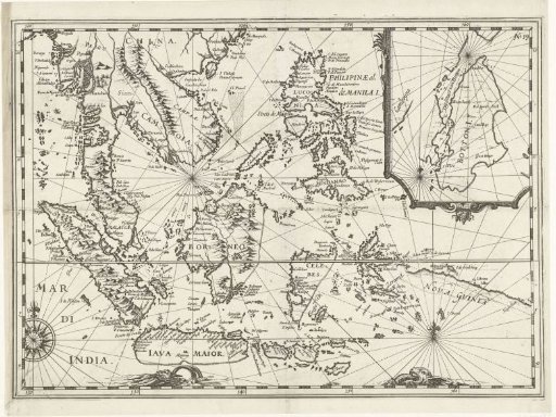
Map of the East Indies, 1616
From the collection of Rijksmuseum, Amsterdam. Free to download, adapt and use — no permission needed.
About this work
Map of the East Indies, 1616. Top right: an inset with a map of the so-called Strait of Botton, near Cambodia. Part of the illustrations in the report of the voyage of Joris van Spilbergen around the world, 1614-1617, No. 19.
Rijksmuseum, Amsterdam’s own descriptionCredit lineKaart van Oost-Indië, 1616. 1617 - 1619. anonymous. Rijksmuseum, Amsterdam. Public domain.