Public domain
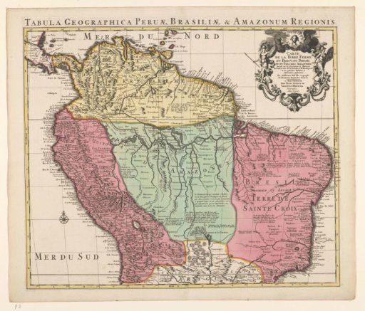
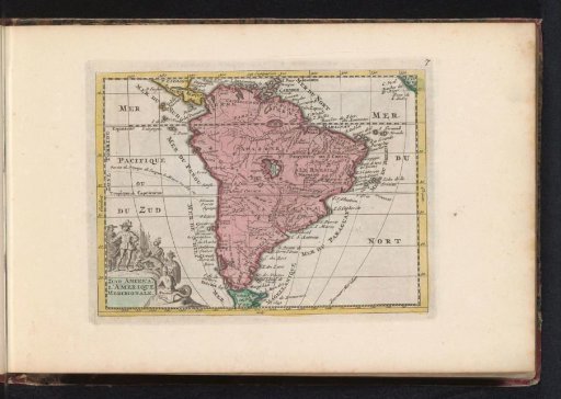
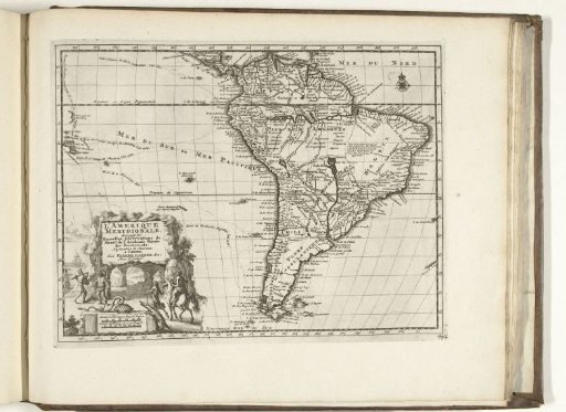
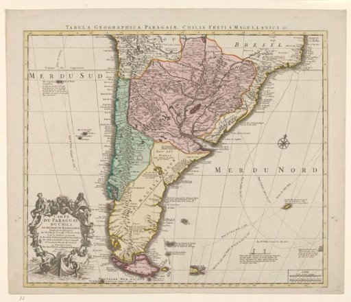
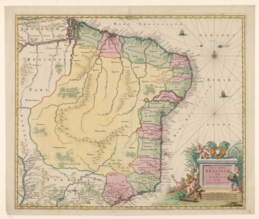
Map of Brazil
From the collection of Rijksmuseum, Amsterdam. Free to download, adapt and use — no permission needed.
About this work
Map of Brazil, yellow-bordered, areas colored, two ships in the sea, mountains, trees, and buildings drawn on the land. At the top right, compass rose; at the bottom right, title with five putti and Poseidon with trident; below the inscription, scale in German, Spanish, and French miles.
Rijksmuseum, Amsterdam’s own descriptionCredit lineKaart van Brazilië. 1735 - 1745. Johannes Willemszoon Blaeu. Rijksmuseum, Amsterdam. Public domain.