Public domain
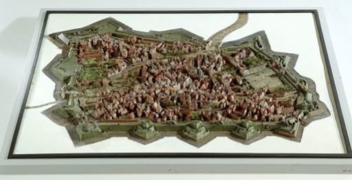
Relief map of the city of Breda
From the collection of Rijksmuseum, Amsterdam. Free to download, adapt and use — no permission needed.
About this work
Model of the fortress at Breda, late 17th century. The war that engulfed the Republic in 1672 forced its leaders to focus on the country's defences. Stadholder William III ordered the modernisation of the dilapidated fortifications around the Dutch cities. The model shows the city of Breda with the defences built in 1682. The houses in the model are carved in wood. The town walls are made of clay.
Rijksmuseum, Amsterdam’s own descriptionCredit lineStadsplan in reliëf van de stad Breda. 1750 - 1800. Cornelis van Bergen. Rijksmuseum, Amsterdam. Public domain.
Similar works
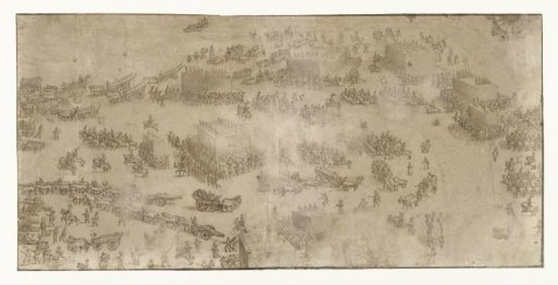 The States Army crosses the harbor at Nieuwpoort, 1600
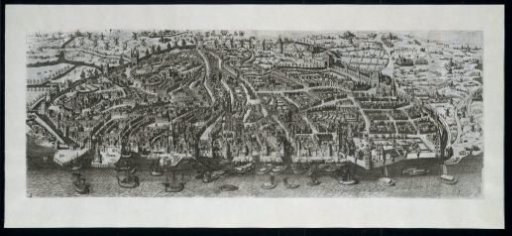 View of Antwerp, in Bird's-Eye Perspective, from the West
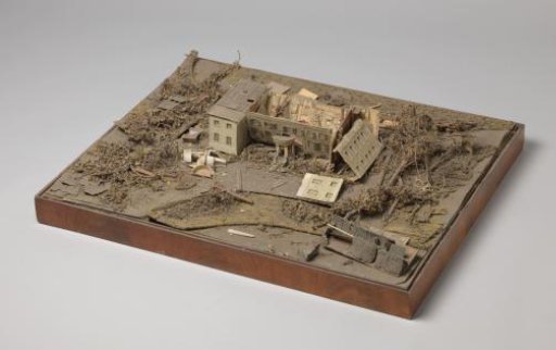 A model of the house De Pauw near The Hague
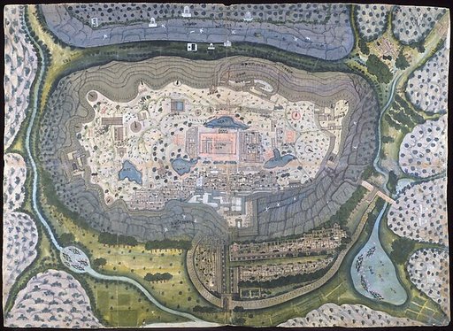 Fortified City of Ranthambhor
![[Pictures of Ancient Castles of Japan] [Volume 18, Sanyōdō Section] 262 Map of Himeji Castle, Harima Province](https://thumbs.arkivism.com/ndl-1286526.jpg) [Pictures of Ancient Castles of Japan] [Volume 18, Sanyōdō Section] 262 Map of Himeji Castle, Harima Province
[Pictures of Ancient Castles of Japan] [Volume 18, Sanyōdō Section] 262 Map of Himeji Castle, Harima Province
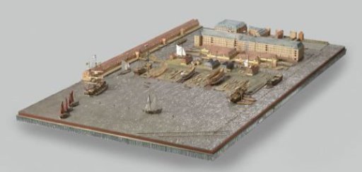 Model of the Dockyard of the Dutch East India Company at Oostenburg in Amsterdam