Public domain
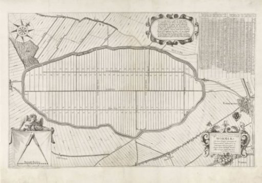
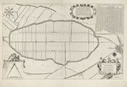
Map of the Plots of the Wormer
From the collection of Rijksmuseum, Amsterdam. Free to download, adapt and use — no permission needed.
About this work
Map of the polder de Wormer, also known as Wijdewormer, with land division. Top left, a wind rose. Bottom left, an angel holding a cloth with an open compass above a scale rod: 300 Rhenish rods. Top right, an extensive table with information on the 119 numbered plots on the map. To the left of it, a cartouche with a ten-line text in Dutch. Bottom right, the title cartouche. Above it, the coat of arms of Purmerend, next to a plan of that city.
Rijksmuseum, Amsterdam’s own descriptionCredit lineKaart met de kavels van de Wormer. 1627. Laurens van Teylingen. Rijksmuseum, Amsterdam. Public domain.