Public domain
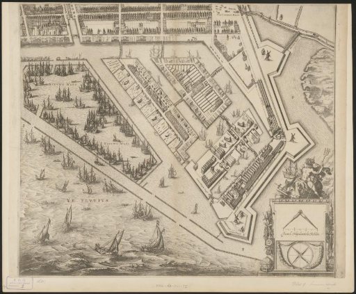
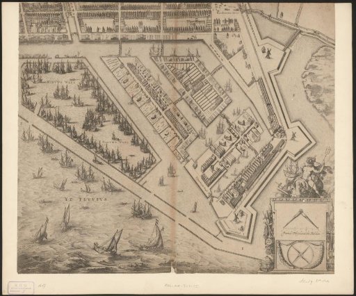
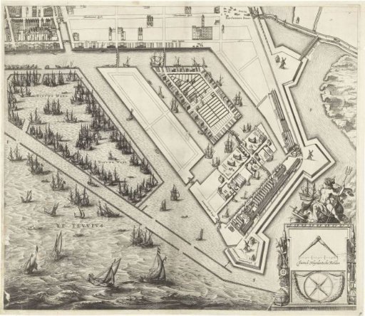
Map of Amsterdam (Bottom Right Sheet)
From the collection of Rijksmuseum, Amsterdam. Free to download, adapt and use — no permission needed.
About this work
Large map of the city of Amsterdam from 1625. Top left: a view of the city; top right: a map of the surrounding area. Right: a list of street names on the Oude and Nieuwe stadszijde. The map is composed of nine plates, two of which are missing. This is the bottom right plate showing the Western Islands.
Rijksmuseum, Amsterdam’s own descriptionSubjects
Credit linePlattegrond van Amsterdam (blad rechtsonder). 1625. Balthasar Florisz. van Berckenrode. Rijksmuseum, Amsterdam. Public domain.