Public domain
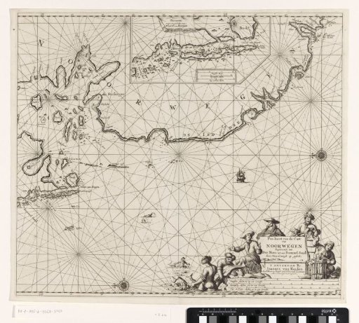
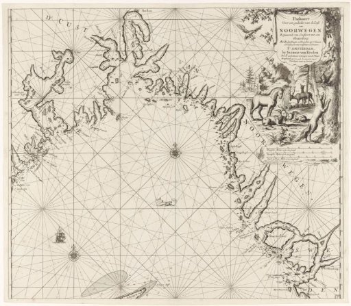
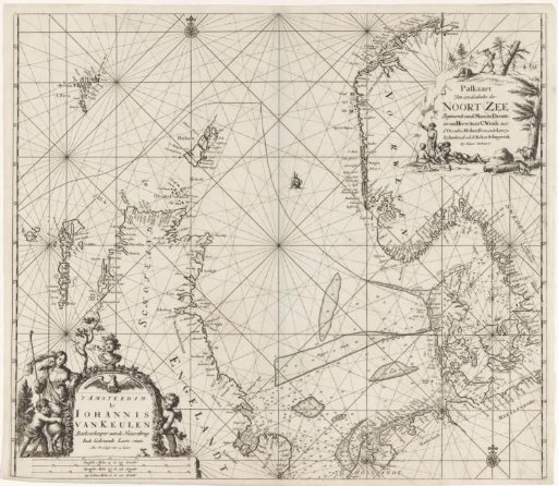
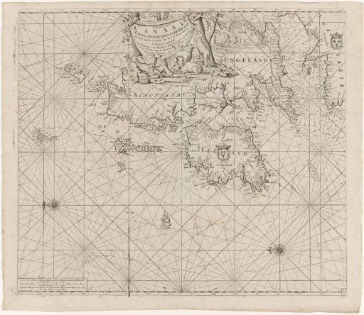
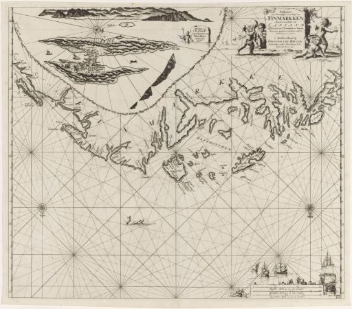
Chart of a part of the coast of Finnmark
From the collection of Rijksmuseum, Amsterdam. Free to download, adapt and use — no permission needed.
About this work
Chart of a part of the coast of Finnmark in Norway and a part of Sápmi (Lapland), with an inset map of the island of Vardö, with two compass roses, North at the bottom. A cartouche in the upper right with the title and publisher's address, decorated with four putti playing blind man's bluff. The scale in German, Spanish, and English or French miles in the lower right (scale: c. 1:900,000), surrounded by boats, merchants, and merchandise.
Rijksmuseum, Amsterdam’s own descriptionCredit linePaskaart van een gedeelte van de kust van Finnmark. 1681 - 1799. Jan Luyken. Rijksmuseum, Amsterdam. Public domain.