Public domain
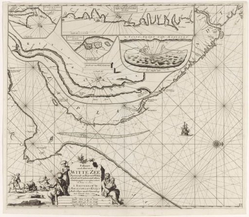
Chart of a part of the coast of Kola in Russia
From the collection of Rijksmuseum, Amsterdam. Free to download, adapt and use — no permission needed.
About this work
Chart of a part of the coast of Kola in Russia, with five inset maps of Swyatoi Nos, a part of the coast of Sápmi (Lapland), the Lumbovski Bay, the mouth of the Kola River, and Kitdin Island, with six compass roses. A cartouche in the lower left with the title, publisher's address, and scale in German, Spanish, and English or French miles (scale: c. 1:800,000). The title is flanked by a woman with a child and two men with fur caps and bow and arrow. To the left of the title, three men and some dogs hunt a polar bear.
Rijksmuseum, Amsterdam’s own descriptionCredit linePaskaart van een gedeelte van de kust van Kola in Rusland. 1681 - 1799. Jan Luyken. Rijksmuseum, Amsterdam. Public domain.
Similar works
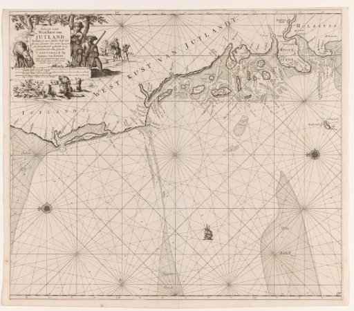 Chart of the west coast of Jutland
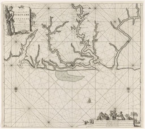 Chart of various Surinamese rivers
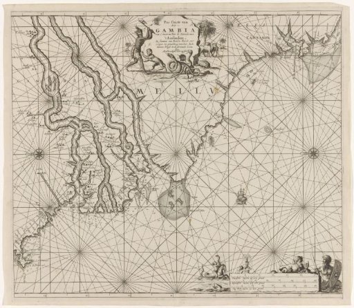 Sea chart of the coast of Gambia and part of the coast of Senegal, Guinea and Sierra Leone
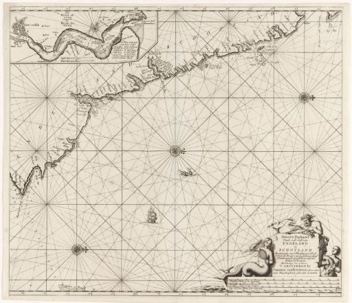 Chart of a part of the northeast coast of England and a part of Scotland
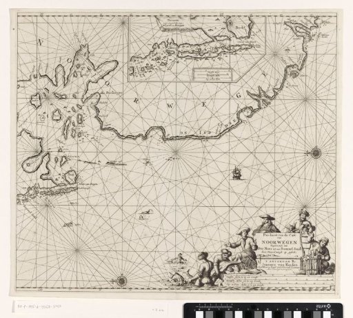 Chart of a part of the coast of Norway
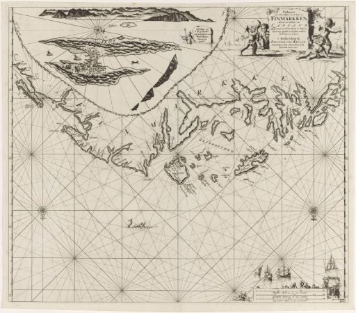 Chart of a part of the coast of Finnmark