Public domain
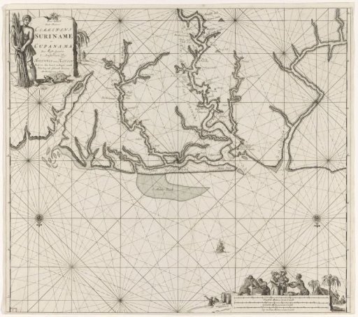
Chart of various Surinamese rivers
From the collection of Rijksmuseum, Amsterdam. Free to download, adapt and use — no permission needed.
About this work
Chart of the mouth of several Surinamese rivers in the Atlantic Ocean, including the Commewijne, the Coppename and the Suriname river, and its mouth at Paramaribo. With two compass roses, north below. In the upper left a black man with sugarcane and a turtle near the title and the publisher's address. In the lower right two merchants tasting goods from a black man, and several black men performing tasks. Below the scene the scale, shown in German, Spanish and English or French miles (scale: c. 1:450,000).
Rijksmuseum, Amsterdam’s own descriptionCredit linePaskaart van verschillende Surinaamse rivieren. 1684 - 1799. Jan Luyken. Rijksmuseum, Amsterdam. Public domain.
Similar works
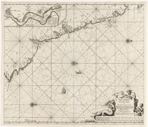 Chart of a part of the northeast coast of England and a part of Scotland
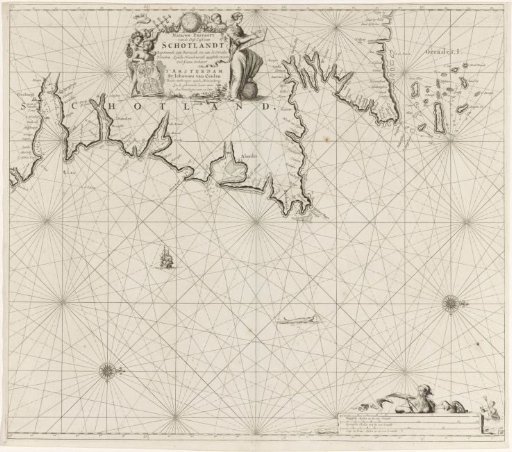 Chart of a part of the northeast coast of Scotland and the Orkney Islands
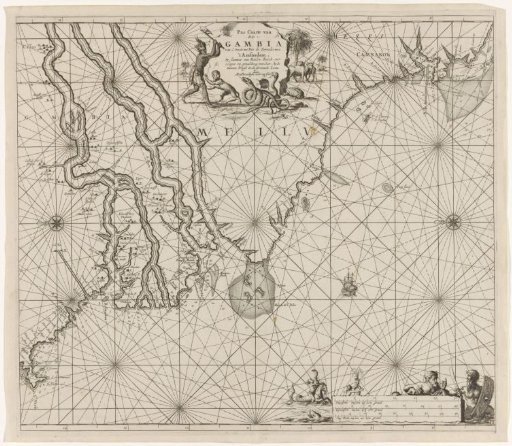 Sea chart of the coast of Gambia and part of the coast of Senegal, Guinea and Sierra Leone
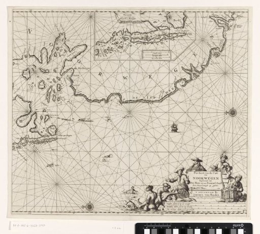 Chart of a part of the coast of Norway
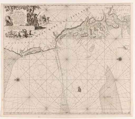 Chart of the west coast of Jutland
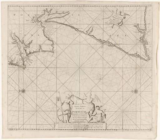 Sea chart of part of the coast of Portugal