Public domain
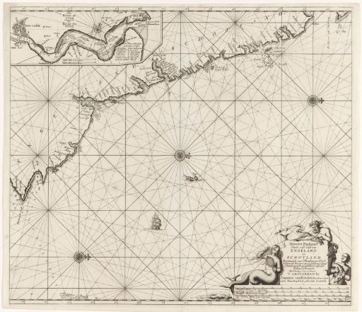
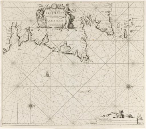
Chart of a part of the northeast coast of Scotland and the Orkney Islands
From the collection of Rijksmuseum, Amsterdam. Free to download, adapt and use — no permission needed.
About this work
Chart of a part of the northeast coast of Scotland and the Orkney Islands, with two compass roses, North to the right. A cartouche at the top with the title and publisher's address, flanked by putti with maps and nautical instruments and a woman drawing a map. The scale in German, Spanish, and English or French miles in the lower right (scale: c. 1:700,000), accompanied by two sea gods.
Rijksmuseum, Amsterdam’s own descriptionSubjects
Credit linePaskaart van een gedeelte van noordoostkust van Schotland en de Orkney Eilanden. 1681 - 1799. Jan Luyken. Rijksmuseum, Amsterdam. Public domain.