Public domain
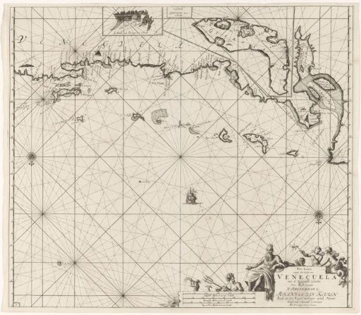
Chart of the coast of Venezuela with the Leeward Islands
From the collection of Rijksmuseum, Amsterdam. Free to download, adapt and use — no permission needed.
About this work
Chart of the coast of Venezuela with the Leeward Islands, with inset maps of the roadstead of Tortuga and a map of Curaçao. With two compass roses, North lying below. In the lower right the title, the publisher's address and the scale, shown in German, Spanish and English or French miles (scale: c. 1:1,800,000). The cartouche is decorated with a seated Neptune, a mermaid and a triton blowing a horn, and several mermaids, one of whom holds a windmill.
Rijksmuseum, Amsterdam’s own descriptionCredit linePaskaart van de kust van Venezuela met de Benedenwindse Eilanden. 1684 - 1799. Jan Luyken. Rijksmuseum, Amsterdam. Public domain.
Similar works
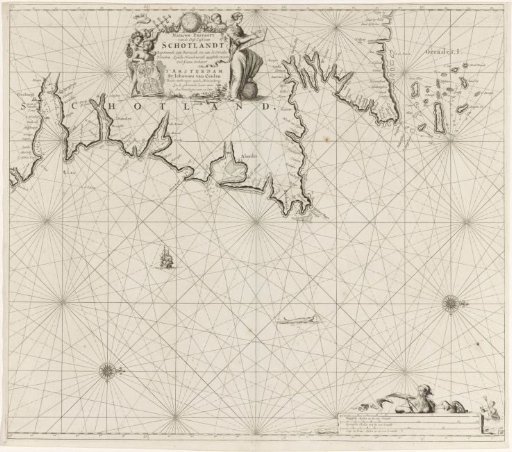 Chart of a part of the northeast coast of Scotland and the Orkney Islands
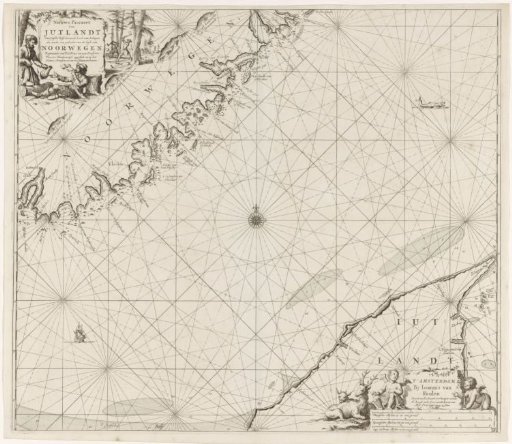 Chart of a part of the coast of Norway and Jutland
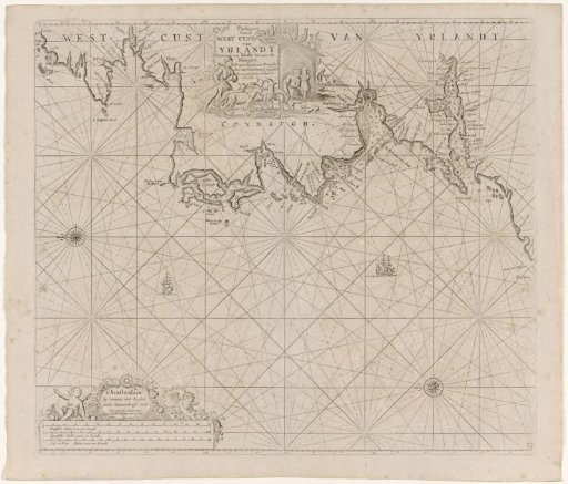 Chart of a section of the west coast of Ireland
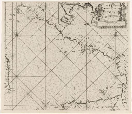 Chart of part of the south-west coast of Italy and the north coast of Sicily
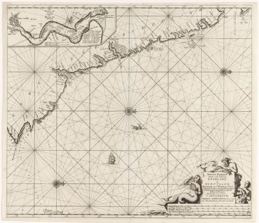 Chart of a part of the northeast coast of England and a part of Scotland
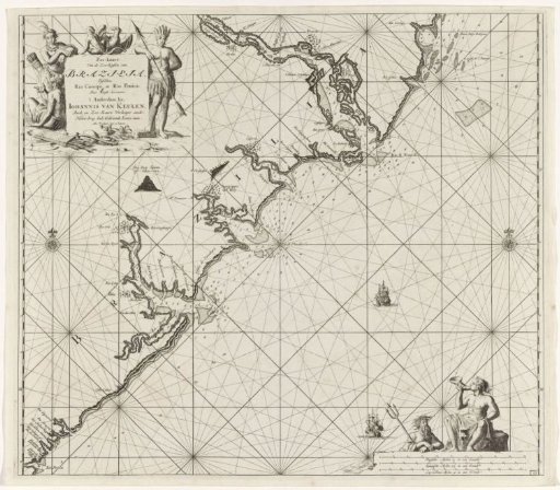 Chart of a part of the coast of Brazil