Public domain
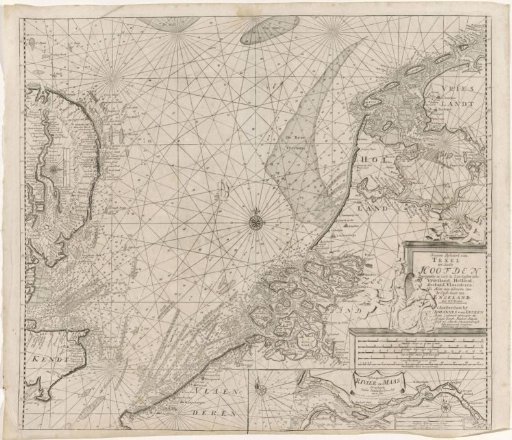
Chart of the southern part of the North Sea and a part of the east coast of England
From the collection of Rijksmuseum, Amsterdam. Free to download, adapt and use — no permission needed.
About this work
Chart of the southern part of the North Sea with the coasts of Holland, Zeeland, Flanders, and a part of the east coast of England, with four compass roses. An inset in the lower right with a chart of the river Maas. The scale, title, and publisher's address above the inset, decorated with cherubs and two dignitaries.
Rijksmuseum, Amsterdam’s own descriptionSubjects
Credit linePaskaart van het zuidelijk deel van de Noordzee en een deel van de oostkust van Engeland. 1688 - 1803. anonymous. Rijksmuseum, Amsterdam. Public domain.
Similar works
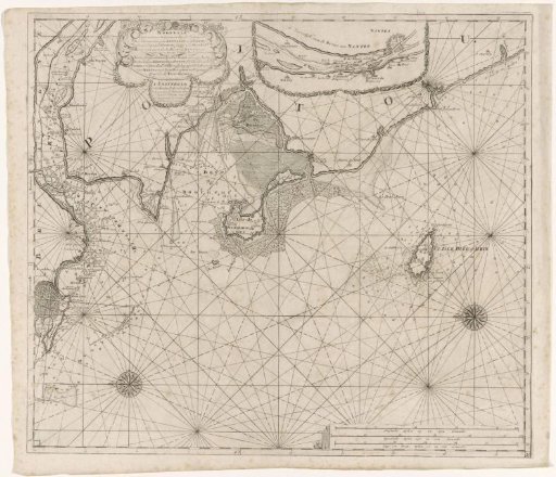 Chart of part of the coast of Brittany
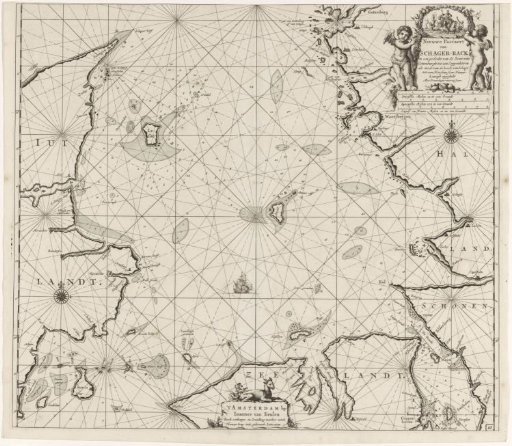 Chart of Denmark with the Skagerrak and the Kattegat
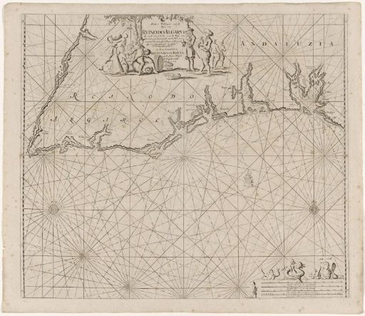 Sea chart of part of the south coast of Portugal and Spain with the Algarve and Andalusia
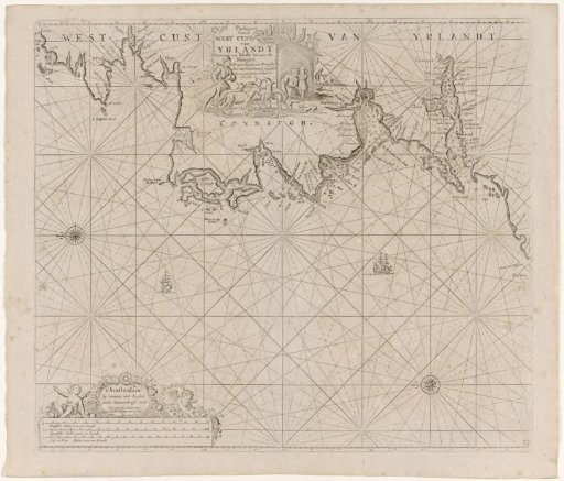 Chart of a section of the west coast of Ireland
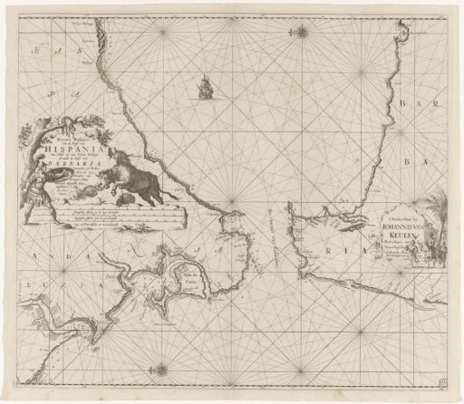 Sea chart of the Strait of Gibraltar
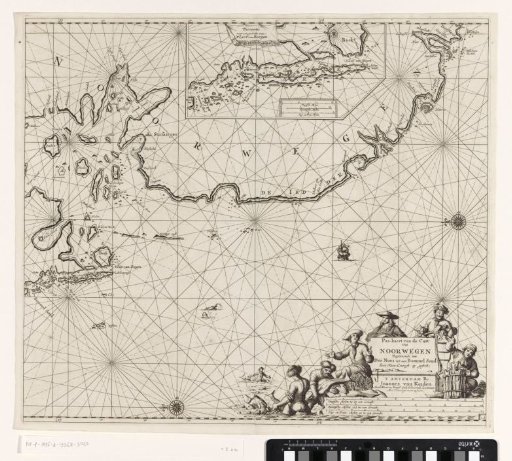 Chart of a part of the coast of Norway