Public domain
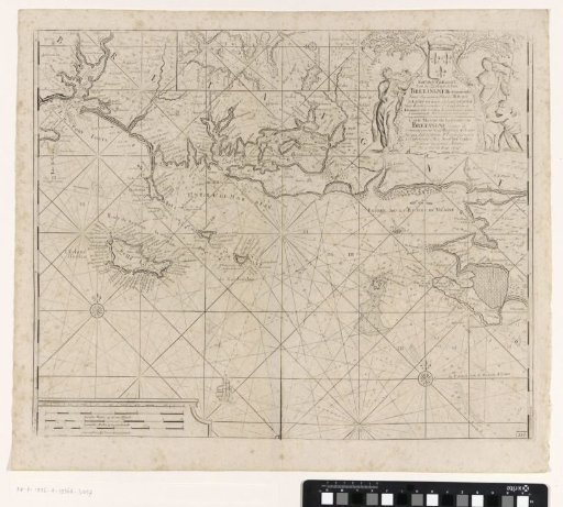
Chart of the coast of France between the island of Groix and the municipality of La Baule-Escoublac
From the collection of Rijksmuseum, Amsterdam. Free to download, adapt and use — no permission needed.
About this work
Chart of the coast of France from the Breton island of Groix to the municipality of La Baule-Escoublac in the Pays de la Loire region, with Belle-Île-en-Mer, the largest Breton island in the Atlantic Ocean. With three compass roses. In the upper middle an inset with a detail chart of the mouth of the Blavet river in the Atlantic Ocean with Port Louis and Île Saint-Michel. In the upper right a cartouche with the title and the publisher's address, flanked by a shepherdess, a putto and a woman with a trumpet. In the lower left the scale, shown in German, Spanish and English or French miles.
Rijksmuseum, Amsterdam’s own descriptionCredit linePaskaart van de kust van Frankrijk tussen het eiland Groix en de gemeente La Baule-Escoublac. 1681 - 1803. anonymous. Rijksmuseum, Amsterdam. Public domain.
Similar works
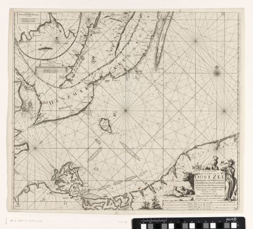 Chart of a southern part of the Baltic Sea
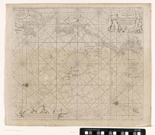 Chart of a part of the Atlantic Ocean with the west coast of Europe and a part of Africa
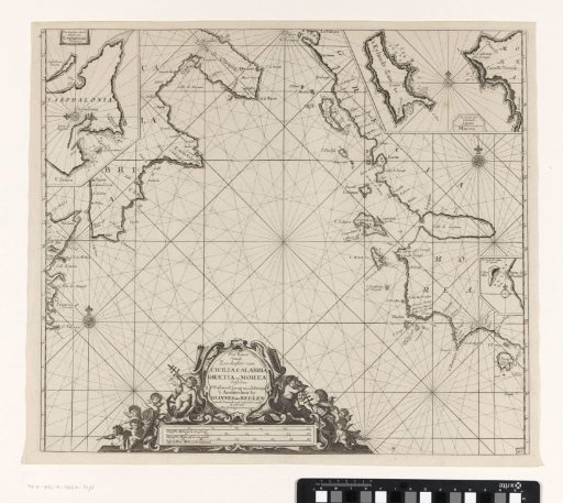 Sea chart of part of the Mediterranean Sea with the south coast of Italy and Sicily and part of the west coast of Greece
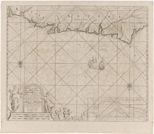 Sea chart of part of the Bay of Biscay near Bilbao
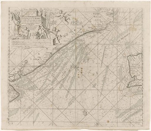 Chart of the northern entrance to the Channel with the coasts of Flanders, France and England
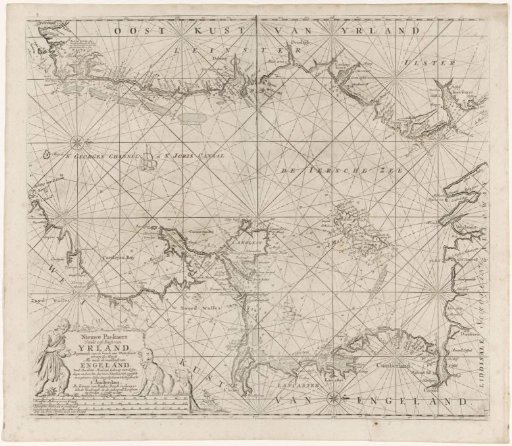 Chart of part of the Irish Sea and the St. George's Channel