Public domain
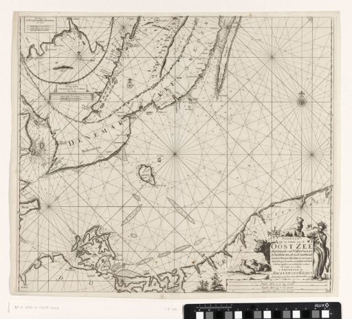
Chart of a southern part of the Baltic Sea
From the collection of Rijksmuseum, Amsterdam. Free to download, adapt and use — no permission needed.
About this work
Chart of a southern part of the Baltic Sea, from the German city of Stralsund to the Polish city of Łeba and from the Swedish Skanör to Kalmar, with three compass roses, North at the top. Two inset maps of a part of the southeast coast of Sweden in the upper left. The title, publisher's address, and scale in German, Spanish, and English or French miles (scale: c. 1:600,000) on a stone in the lower right. Next to the title, a woman with flowers in her hair plays a trumpet, while two dogs and two sheep rest.
Rijksmuseum, Amsterdam’s own descriptionCredit linePaskaart van een zuidelijk deel van de Oostzee. 1681 - 1799. Jan Luyken. Rijksmuseum, Amsterdam. Public domain.
Similar works
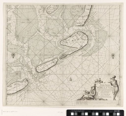 Chart of the Wadden Sea from Den Helder to Terschelling
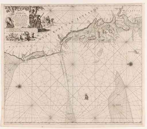 Chart of the west coast of Jutland
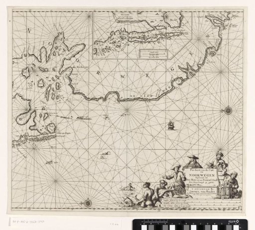 Chart of a part of the coast of Norway
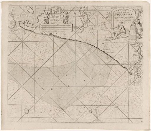 Chart of the coast of Holland between Texel and the Maas
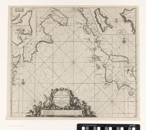 Sea chart of part of the Mediterranean Sea with the south coast of Italy and Sicily and part of the west coast of Greece
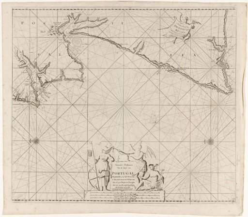 Sea chart of part of the coast of Portugal