Public domain
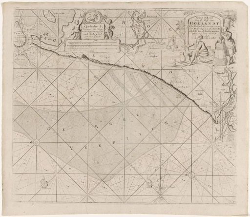
Chart of the coast of Holland between Texel and the Maas
From the collection of Rijksmuseum, Amsterdam. Free to download, adapt and use — no permission needed.
About this work
Chart of the coast of Holland between Texel and the Maas, with two compass roses, North to the left. A cartouche in the upper right with the title, depicting a butter-churning woman and a farmer with cheeses. The publisher's address and scale in German, Spanish, and English or French miles in the upper left (scale: ca. 1:200,000).
Rijksmuseum, Amsterdam’s own descriptionCredit linePaskaart van de kust van Holland tussen Texel en de Maas. 1681 - 1803. anonymous. Rijksmuseum, Amsterdam. Public domain.
Similar works
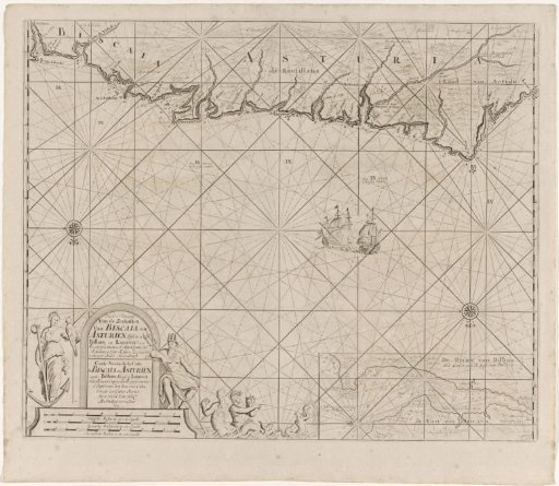 Sea chart of part of the Bay of Biscay near Bilbao
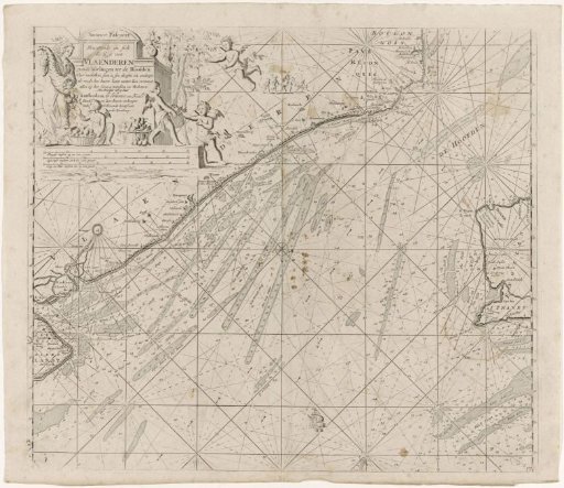 Chart of the northern entrance to the Channel with the coasts of Flanders, France and England
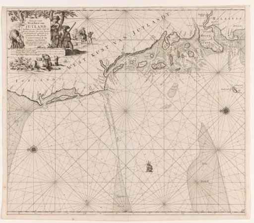 Chart of the west coast of Jutland
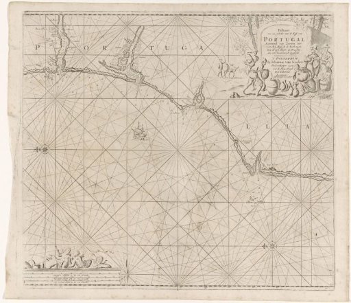 Sea chart of a section of the south coast of Portugal
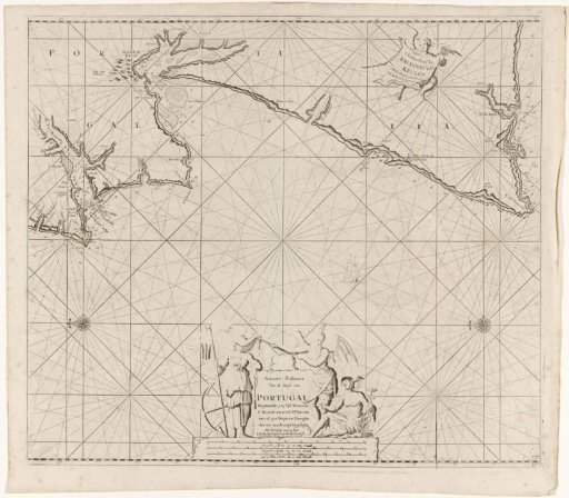 Sea chart of part of the coast of Portugal
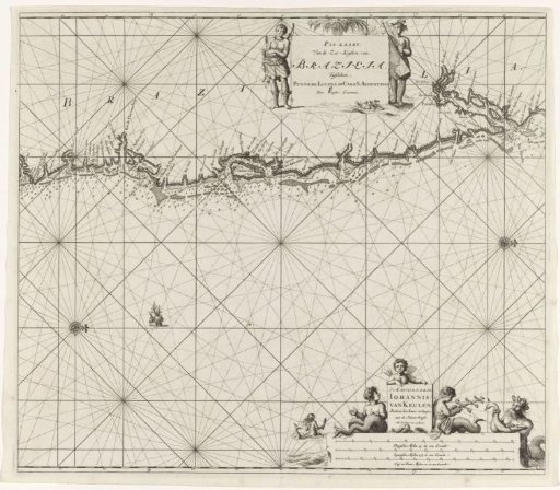 Chart of the east coast of Brazil