Public domain
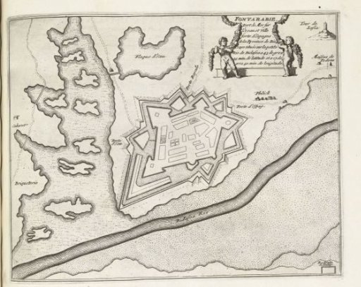
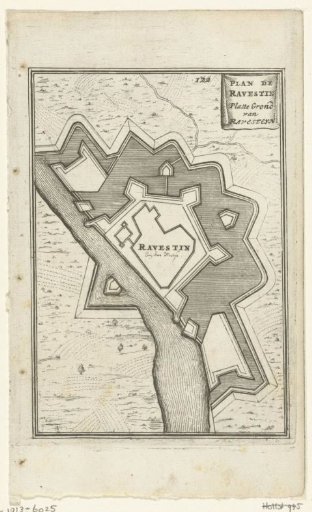
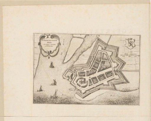
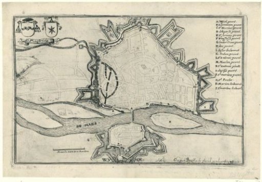
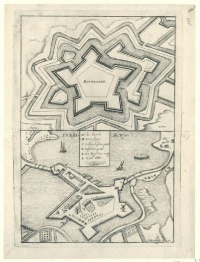
Maps of the fortresses of Boertange and Zwartsluis, captured by the French or Münsterites in 1672
From the collection of Rijksmuseum, Amsterdam. Free to download, adapt and use — no permission needed.
About this work
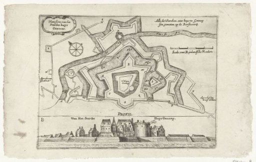
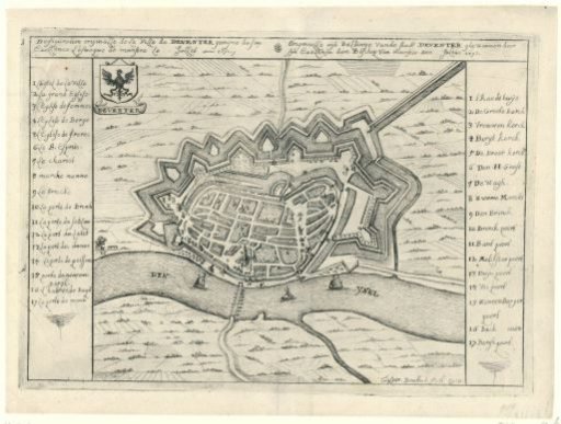
Plans of the fortresses at Boertange and Zwartsluis. This print is part of a group of twelve prints, mostly etched and published by Gaspar Bouttats, with views of fortresses and cities conquered by the French and the Bishop of Munster in 1672.
Rijksmuseum, Amsterdam’s own descriptionCredit linePlattegronden van de vestingen te Boertange en Zwartsluis, veroverd door de Fransen of Munstersen, 1672. 1672. Gaspar Bouttats. Rijksmuseum, Amsterdam. Public domain.