Public domain
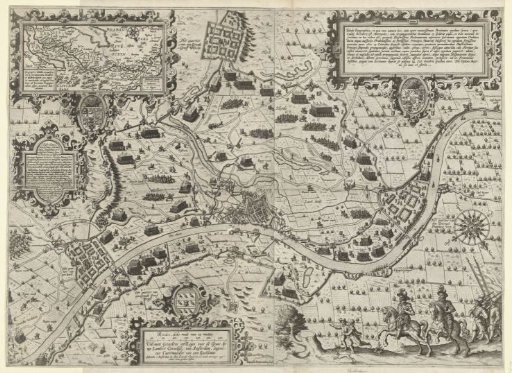
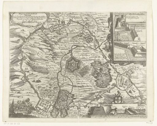
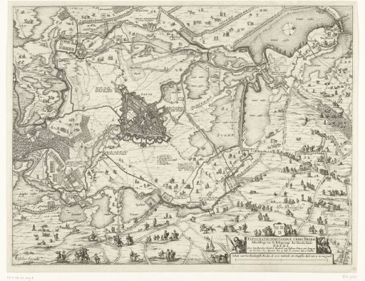
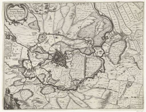
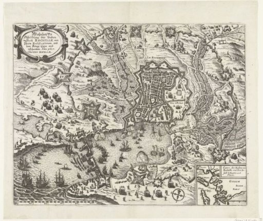
Map of the Siege of La Rochelle, 1627-1628
From the collection of Rijksmuseum, Amsterdam. Free to download, adapt and use — no permission needed.
About this work
Map of the French coast with the siege of La Rochelle by the States' army and France, September 1627 – October 1628. Encirclement of the rebellious city by the French royal troops under Cardinal Richelieu. Bottom right, an inset map of the larger area.
Rijksmuseum, Amsterdam’s own descriptionCredit lineKaart van het beleg van La Rochelle, 1627-1628. 1627 - 1629. anonymous. Rijksmuseum, Amsterdam. Public domain.