Public domain
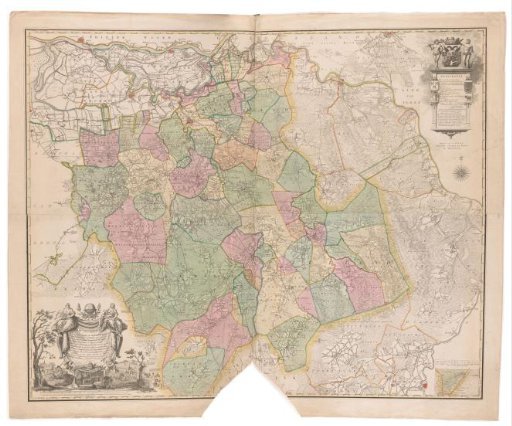
Map of Brabant
From the collection of Rijksmuseum, Amsterdam. Free to download, adapt and use — no permission needed.
About this work
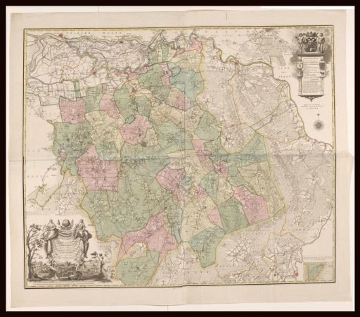
Map of Brabant. Lower left the title cartouche with two scale bars below: Scale of 4500 Roeden Rhynlandsche Maal, being according to Professor Lulofs 1479 Roeden Rheynlands, one hour's walk of 20 hours in a degree / Scale of 3000 S' Bossche Roeden. Upper right a cartouche with the legend. Above it the coat of arms of 's-Hertogenbosch, flanked by two wild men. On the left pillar of the cartouche the coats of arms of Peelland and Oisterwijk, on the right pillar the coats of arms of Kempenland and Maasland. Lower right an insert with a map of the area south of Lommel.
Rijksmuseum, Amsterdam’s own descriptionCredit lineKaart van Brabant. 1794. Cornelis van Baarsel. Rijksmuseum, Amsterdam. Public domain.