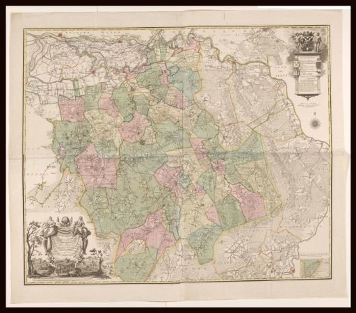
Map of Brabant
From the collection of Rijksmuseum, Amsterdam. Free to download, adapt and use — no permission needed.
Map of Brabant, with hand-drawn border lines added, consisting of four parts. Bottom left: title cartouche with two scale bars below: Scale of 4500 Rhynland Rods, according to Professor Lulofs 1479 Rhynland Rods, one hour's travel of 20 hours in a degree / Scale of 3000 's-Hertogenbosch Rods. Top right: cartouche with legend. Above it, the coat of arms of 's-Hertogenbosch, flanked by two wild men. On the left pillar of the cartouche, the coats of arms of Peelland and Oisterwijk; on the right pillar, the coats of arms of Kempenland and Maasland. Bottom right: inset map of the area south of Lommel. The map is provided with a degree distribution along the edges.
Rijksmuseum, Amsterdam’s own descriptionSimilar works
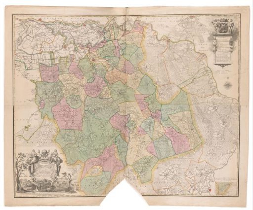 Map of Brabant
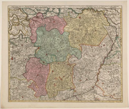 Map of the Duchy of Brabant
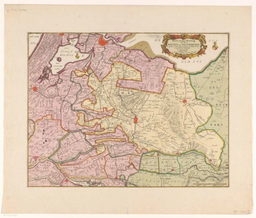 Map of the provinces of Holland, Utrecht and Gelderland with the fortifications and forts built during the war of 1672
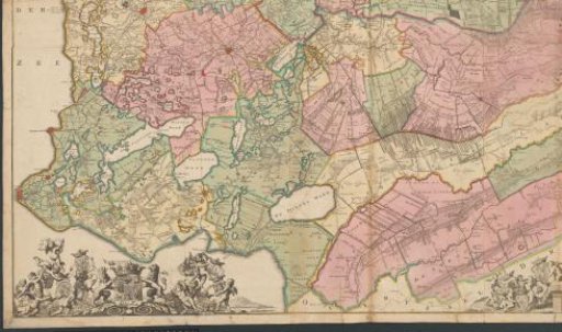 Map of Friesland, Groningen, Drenthe, and East Frisia
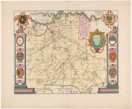 Map of the Meierij of 's-Hertogenbosch
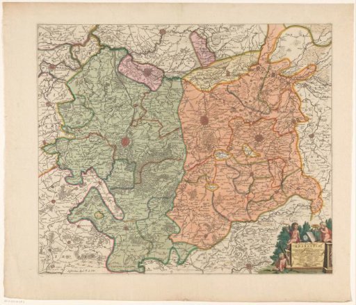 Map of the southern part of the Duchy of Brabant