Public domain
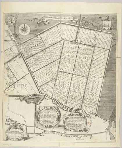
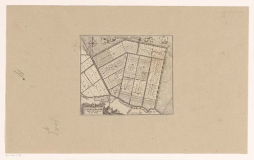
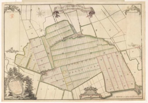
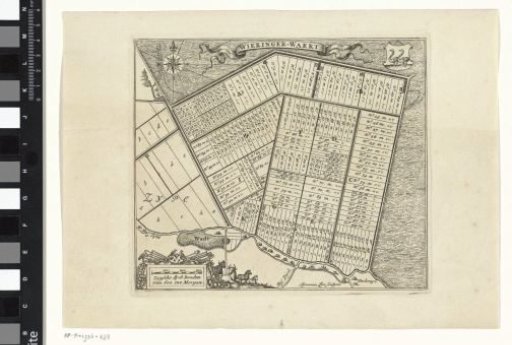
Map of the Wieringerwaard
From the collection of Rijksmuseum, Amsterdam. Free to download, adapt and use — no permission needed.
About this work
Map of the surveyed Wieringerwaard with a compass rose and a fleur-de-lys in the upper left, a coat of arms with two birds in the upper right, and livestock and agricultural tools around the scale indication in the lower left.
Rijksmuseum, Amsterdam’s own descriptionCredit lineKaart van de Wieringerwaard. 1669 - 1713. Ignatius Lux. Rijksmuseum, Amsterdam. Public domain.