Public domain
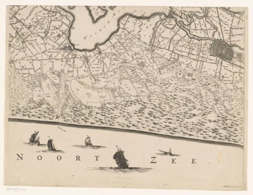
Map of Haarlem and Surroundings, Part of the Province of North Holland, and a Section of the North Sea
From the collection of Rijksmuseum, Amsterdam. Free to download, adapt and use — no permission needed.
About this work
Sixteenth part of a map of Kennemerland and West-Friesland. Numbered in the bottom right: 16. With grid.
Rijksmuseum, Amsterdam’s own descriptionCredit lineKaart van Haarlem en omstreken en een gedeelte van de provincie Noord-Holland en een stuk van de Noordzee. 1680 - 1811. Coenraet Decker. Rijksmuseum, Amsterdam. Public domain.
Similar works
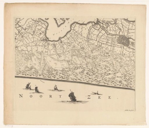 Map of Kennemerland and West-Friesland (sixteenth part)
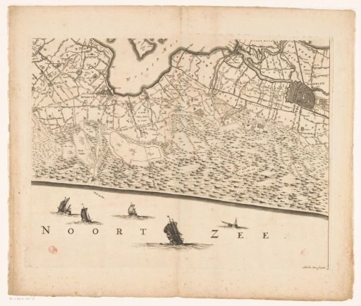 Map of Kennemerland and West-Friesland (part sixteen)
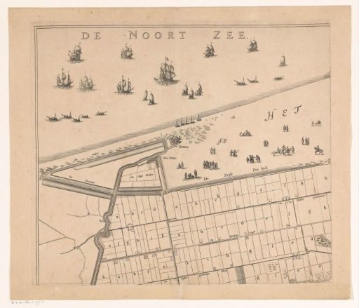 Map of the Zijpe and Hazepolder (upper left part)
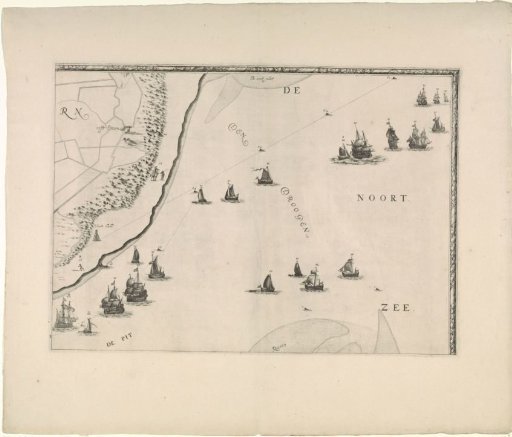 Map of the Maas estuary with postal routes (upper right part)
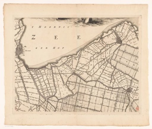 Map of Kennemerland and West-Friesland (seventh part)
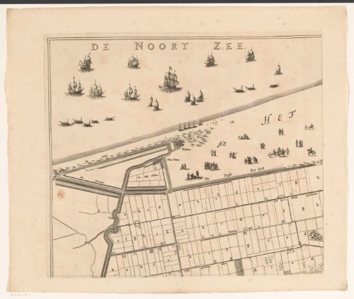 Map of the Zijpe and Hazepolder (upper left part)