Public domain
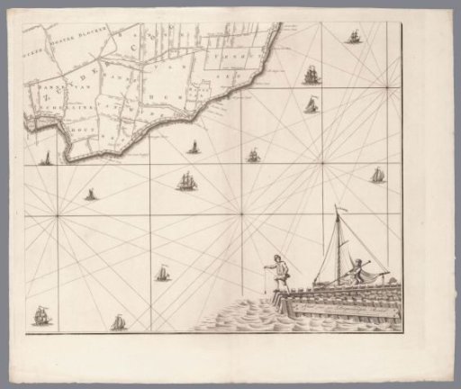
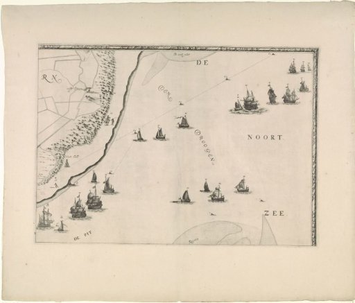
Map of the Maas estuary with postal routes (upper right part)
From the collection of Rijksmuseum, Amsterdam. Free to download, adapt and use — no permission needed.
About this work
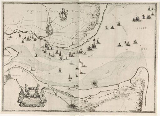
Part (top right) of a map of the mouth of the Maas with postal routes.
Rijksmuseum, Amsterdam’s own descriptionCredit lineKaart van de Maasmonding met postroutes (deel rechtsboven). 1666. Joost van Geel. Rijksmuseum, Amsterdam. Public domain.