Public domain
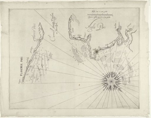
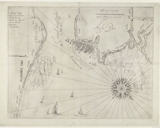
Sea chart of the English coast near Duins, 1639
From the collection of Rijksmuseum, Amsterdam. Free to download, adapt and use — no permission needed.
About this work
Sea chart of the English coast near Dunes, location of the naval battle at Dunes between the Spanish Armada, under the command of Antonio de Oquendo, and the States fleet under Maarten Harpertsz. Tromp, 21 October 1639. With the Spanish fleet enclosed by the States fleet. To the left the Flemish and North French coast between Ostend and Calais, above and to the right the English coast between Hythe and Gravesend.
Rijksmuseum, Amsterdam’s own descriptionCredit lineZeekaart van de Engelse kust bij Duins, 1639. 1639. anonymous. Rijksmuseum, Amsterdam. Public domain.