Public domain
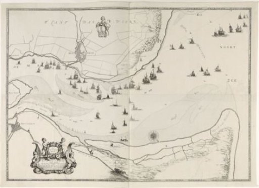
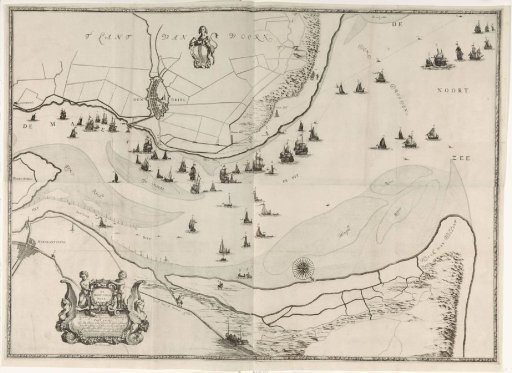
Map of the Maas estuary with postal routes
From the collection of Rijksmuseum, Amsterdam. Free to download, adapt and use — no permission needed.
About this work
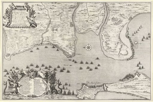
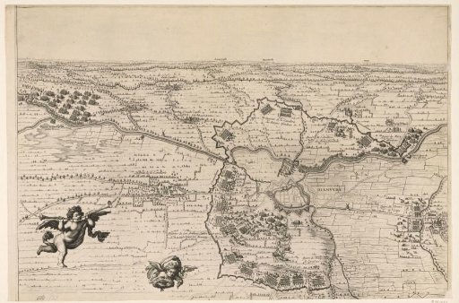
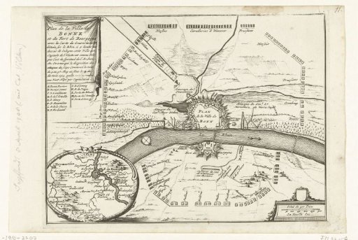
Map of the mouth of the Maas with existing postal routes by land and water. Title cartouche in the lower left. The coat of arms of Rotterdam above the center to the left. Orientation: north down.
Rijksmuseum, Amsterdam’s own descriptionCredit lineKaart van de Maasmonding met postroutes. 1666 - 1698. Joost van Geel. Rijksmuseum, Amsterdam. Public domain.