Public domain
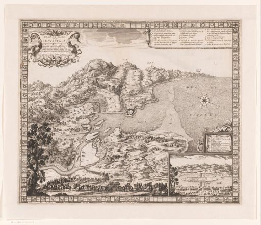
Map of the area around Île des Faisans
From the collection of Rijksmuseum, Amsterdam. Free to download, adapt and use — no permission needed.
About this work
In the foreground a royal procession with riders and an inset with a plan of the island itself.
Rijksmuseum, Amsterdam’s own descriptionCredit lineKaart van het gebied rond het Île des Faisans. in or after 1659. L. Richer. Rijksmuseum, Amsterdam. Public domain.