Public domain
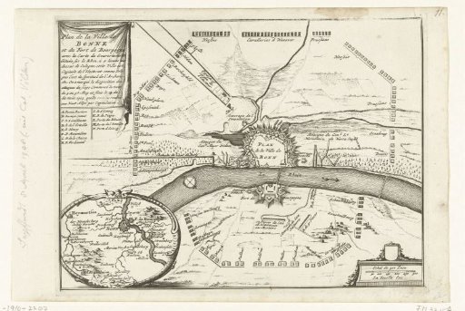
Map of the Siege of Bonn, 1703
From the collection of Rijksmuseum, Amsterdam. Free to download, adapt and use — no permission needed.
About this work
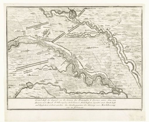
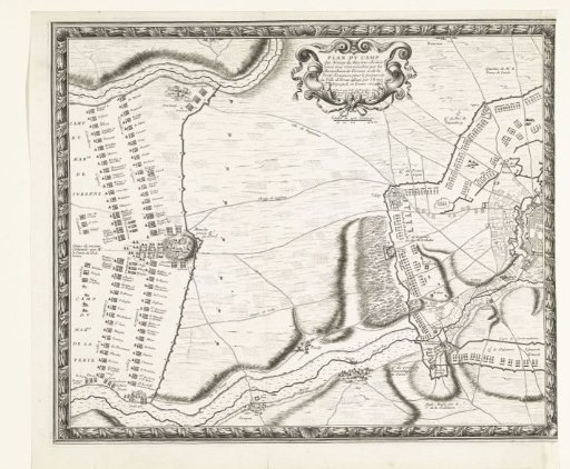
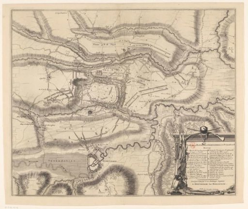
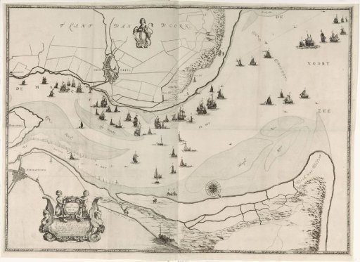
Map of Bonn and the surrounding area, besieged by the Allies from 5 May 1703 and surrendered to the French on 16 May.
Rijksmuseum, Amsterdam’s own descriptionCredit lineKaart van het beleg van Bonn, 1703. 1703. anonymous. Rijksmuseum, Amsterdam. Public domain.