Public domain
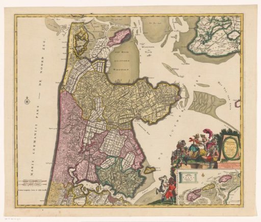
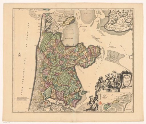
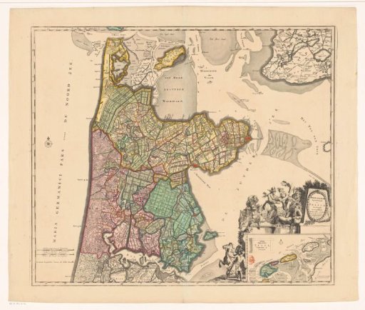
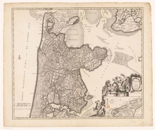
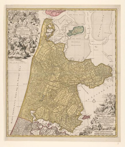
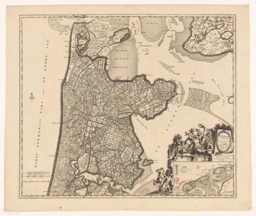
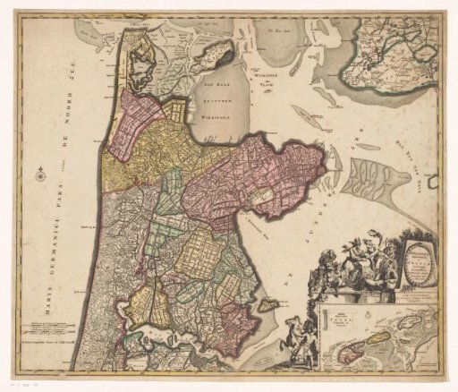
Map of North Holland and part of Friesland
From the collection of Rijksmuseum, Amsterdam. Free to download, adapt and use — no permission needed.
About this work
In the lower left, two scale bars: Milliaria Germanica communia / Dutch miles 15 in a row; Milliaria Gallica communia / French miles, or hours of walking. In the lower right, the title cartouche with various figures around it, including a man with a horse, satyrs, putti, Mercury receiving the horn of plenty from a female figure, and a river god. Below it, an inset map of the Wadden Sea with a scale bar: Common Dutch miles. Degree division along the edges.
Rijksmuseum, Amsterdam’s own descriptionCredit lineKaart van Noord-Holland en een deel van Friesland. 1693 - before 1719. anonymous. Rijksmuseum, Amsterdam. Public domain.