Public domain
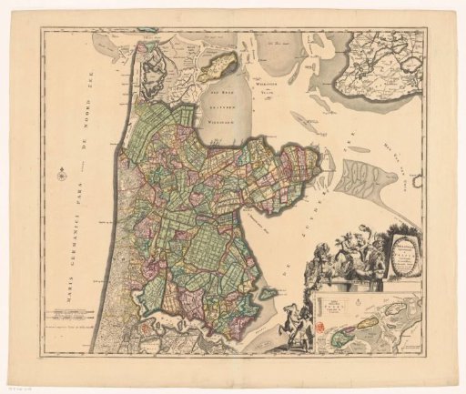
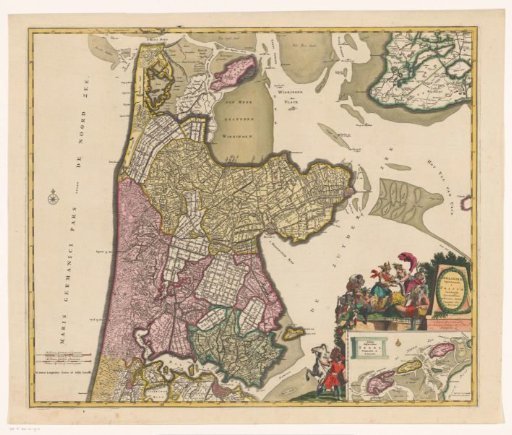
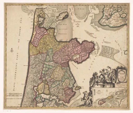
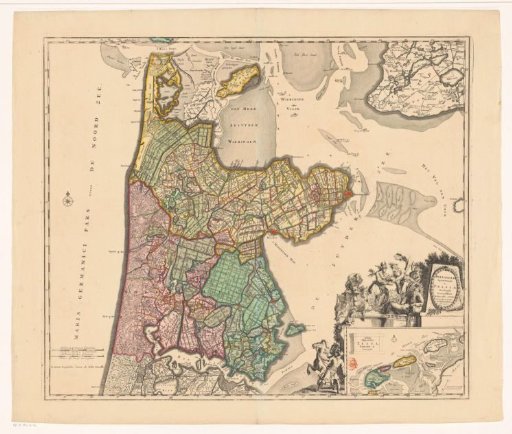
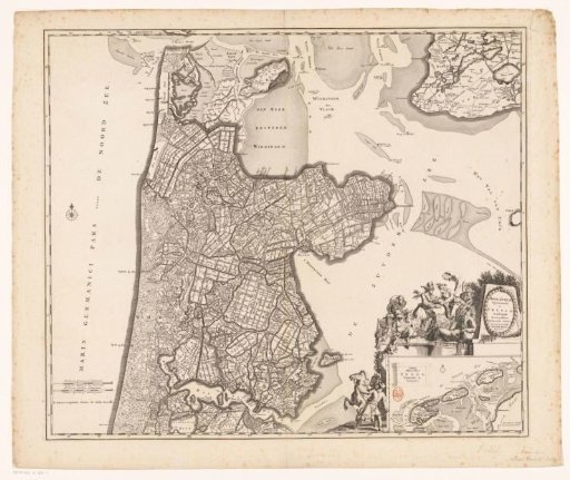
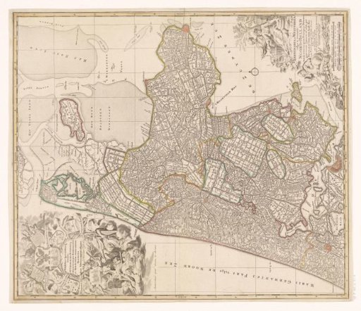
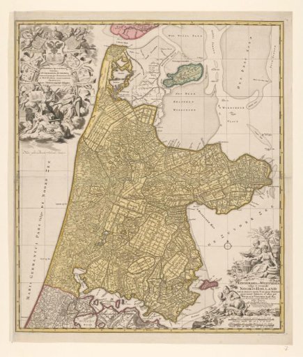
Map of North Holland
From the collection of Rijksmuseum, Amsterdam. Free to download, adapt and use — no permission needed.
About this work
Map of North Holland, southern tip of Texel, Wieringen, Marken and a small part of South Holland. In the lower right scale in German and French miles (1:150,000). In the lower right the title between depictions of farmers and farmwives with cheese, butter and milk. In the upper left the dedication between putti in the clouds crowned by the imperial crown, with various allegorical figures including a figure with a windmill looking at an image of a sluice.
Rijksmuseum, Amsterdam’s own descriptionSubjects
Credit lineKaart van Noord-Holland. c. 1700 - c. 1710. Nicolaes Visscher (II). Rijksmuseum, Amsterdam. Public domain.