Public domain
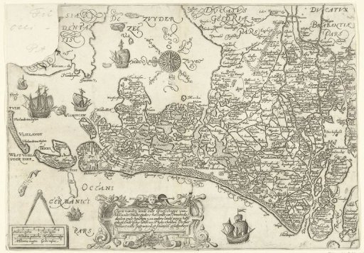
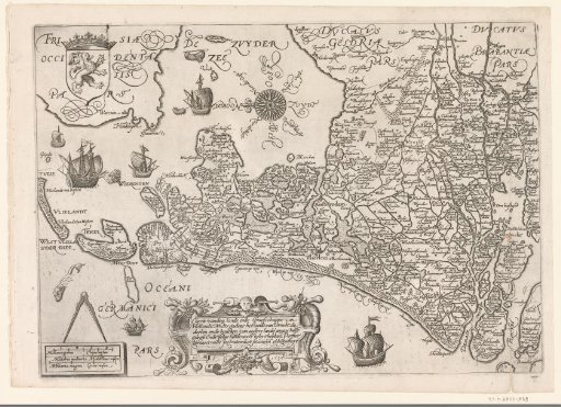
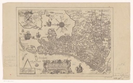
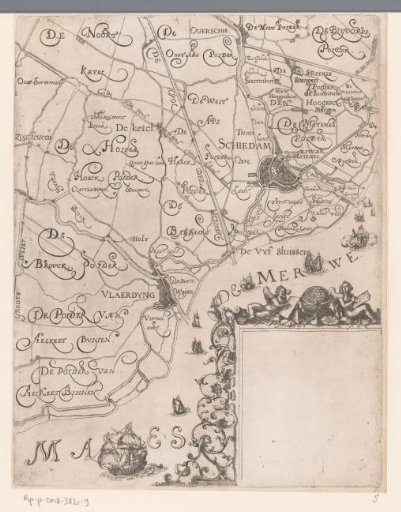
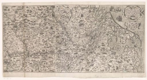
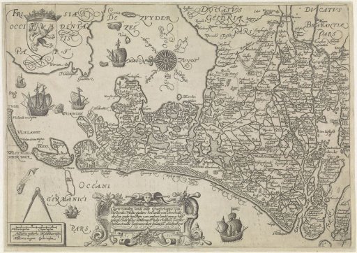
Map of Holland and Utrecht, 1589
From the collection of Rijksmuseum, Amsterdam. Free to download, adapt and use — no permission needed.
About this work
Map of the County of Holland and the Lordship of Utrecht with parts of Friesland, Gelderland, and Brabant, 1589. Top left, the coat of arms of the County of Holland. Bottom left, a compass with three scale rods below it: Miliaria parua / Cleijne mylen; Miliaria meditoria / Middelbaer mijlen; Miliaria magna / Grote mylen. To the right of that, the title cartouche. Inscriptions on the plate in Dutch and Latin. Orientation: north to the left.
Rijksmuseum, Amsterdam’s own descriptionCredit lineKaart van Holland en Utrecht, 1589. 1589. Jan Saenredam. Rijksmuseum, Amsterdam. Public domain.