Public domain
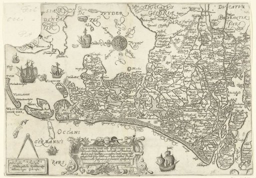
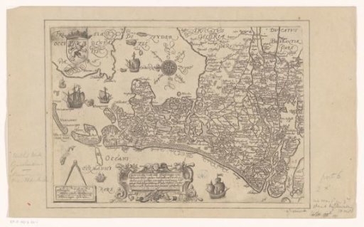
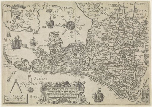
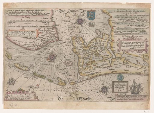
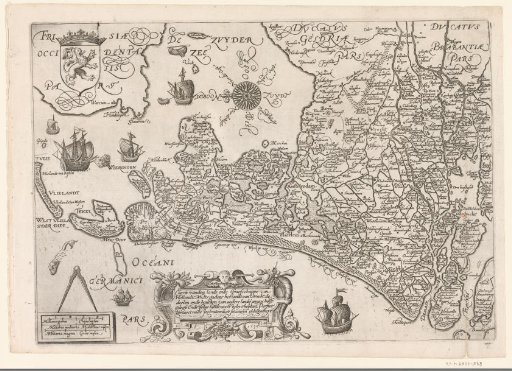
Map of Holland and Utrecht, 1589
From the collection of Rijksmuseum, Amsterdam. Free to download, adapt and use — no permission needed.
About this work
Map of the County of Holland and the Lordship of Utrecht, 1589. To the upper left the coat of arms of Holland, to the lower left a frame with a compass and three scale bars. At the bottom a cartouche with the Dutch title, year and name of the maker. With compass rose in the Zuiderzee. Part of the collection of maps taken from a later edition of: Descrittione di tutti i Paesi Bassi by Lodovico Guicciardini.
Rijksmuseum, Amsterdam’s own descriptionCredit lineKaart van Holland en Utrecht, 1589. 1589. Jan Saenredam. Rijksmuseum, Amsterdam. Public domain.