Public domain
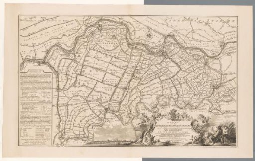
Map of the counties of Buren and Culemborg
From the collection of Rijksmuseum, Amsterdam. Free to download, adapt and use — no permission needed.
About this work
To the left, a cartouche with hydrographic information, a legend, and two scale bars: Scale of 750 Rhine rods or half an hour's walk, Scale of 700 South Holland rods. To the lower right, a cartouche with title and dedication. Surrounding it, several putti with, among others, the coat of arms of Prince William V of Orange and the coats of arms of Arkel, Hagestein, Culemborg, Buren, Leerdam, Acquoy, Mariënwaerdt, Beesd and Rhenoy. To the left of that, a view of the city of Culemborg. At the very lower right, two river gods. With grid.
Rijksmuseum, Amsterdam’s own descriptionCredit lineKaart van de graafschappen Buren en Culemborg. 1761. Jan Punt. Rijksmuseum, Amsterdam. Public domain.
Similar works
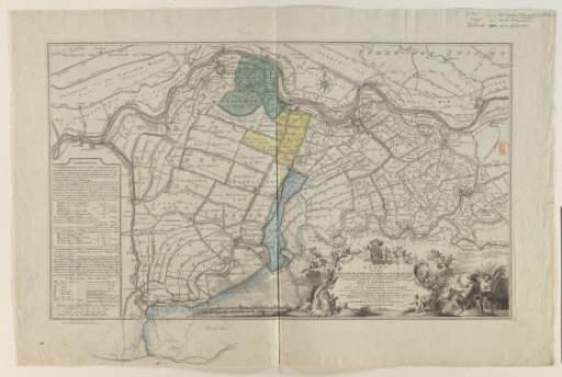 Map of the counties of Buren and Culemborg
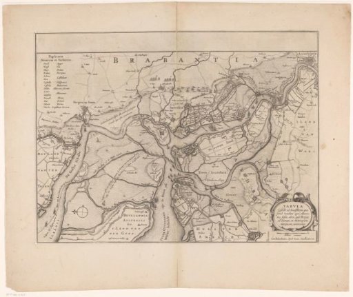 Forts on the Ooster- and Westerschelde, 1627
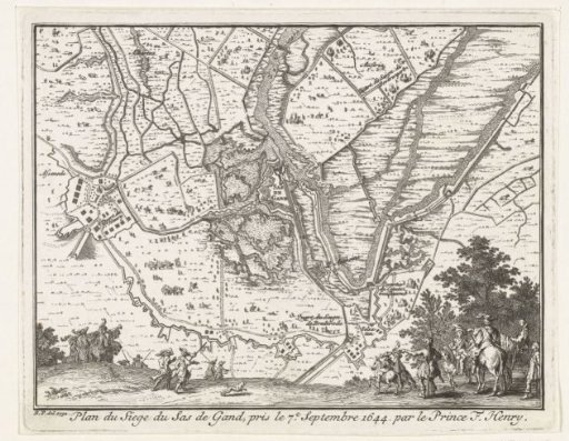 Map of the siege of Sas-van-Gent by Frederick Henry, 1629
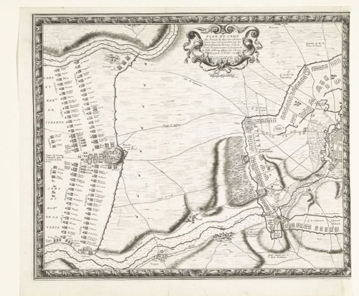 Map with the French army camps during the relief of Arras (left plate), 1654
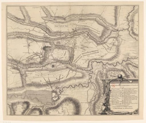 Map of the Battle of Oudenaarde, 1708
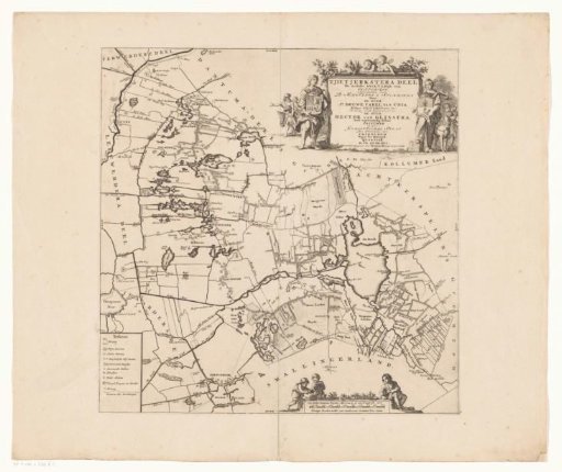 Map of the Grietenij of Tietjerksteradeel