Public domain
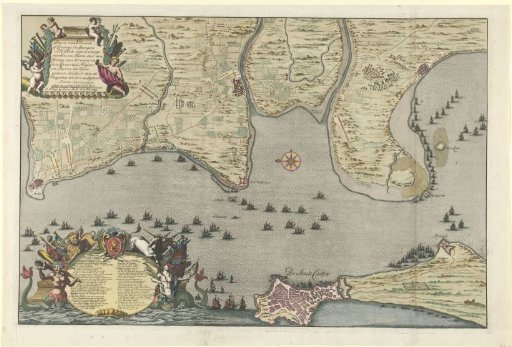
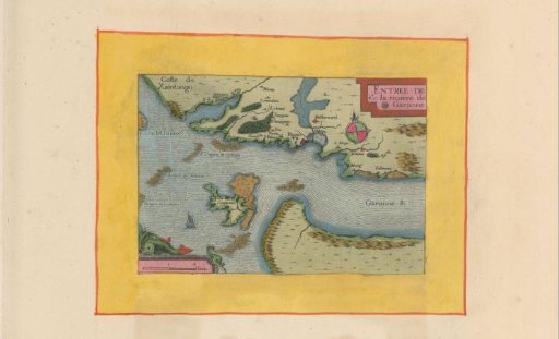
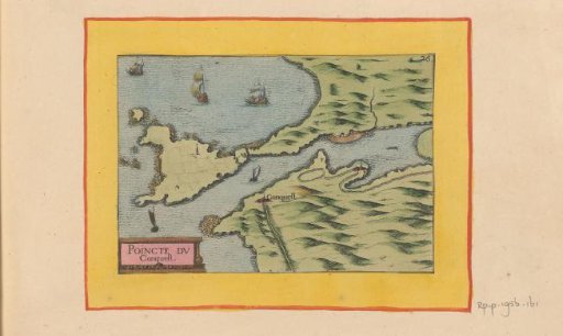
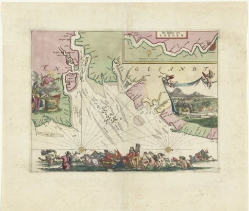
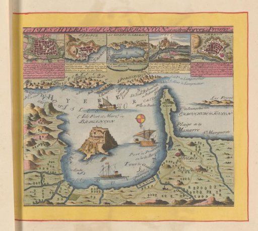
Map of the coast near Hyères and the nearby Îles d'Hyères
From the collection of Rijksmuseum, Amsterdam. Free to download, adapt and use — no permission needed.
About this work
At the top a row of five smaller engravings: plans of Aix, Saint-Tropez, the Gulf of Grimaut, a view of Nice, and a plan of Embrun. This print is part of an album.
Rijksmuseum, Amsterdam’s own descriptionCredit lineKaart van de kust bij Hyères en de nabijgelegen Îles d'Hyères. 1658 - 1709. Carel Allard. Rijksmuseum, Amsterdam. Public domain.